
Recherchez sur le site !
Recherche avancée / SpécifiqueCatégories publications
+ Sciences De La Terre - Archéologie - Astronomie - Spéléologie - Ecologie - Pédologie - Volcanologie - L'hydrogéologie - Géomorphologie - Minéralogie - Pétrologie - Paléontologie - Géologie + Climatologie - Réchouffement climatique - Changement climatique + Plantes - Plantes Aromatiques - Plantes médicinales + Zoologie - Faunes + Botanique - Flors + Sciences humaines - Géo Eco Tourisme - L’anthropologie - L'Histoire - Démographie - Sociologie - Géographie - Patrimoine culturel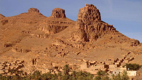
Géo éco tourisme inclusif

Géoparc et Recherche Scientifique
Le coins de l’étudiant


Blog Géoparc Jbel Bani
A short overview of the Anti-Atlas, Morocco
DR.Hervé Rezeau, DR.Cyril Chelle-Michou & DR.Michael Calder
SEG Student Chapter of Geneva (Switzerland)
SEG Student Chapter of Montpellier (France)
INTRODUCTION
Geology of Morocco has been subdivided into four structural domains, from north to south they are the following: the Rif domain, the Meseta domain, the High Atlas, and the Anti-Atlas, as they are shown in (Figure 1).
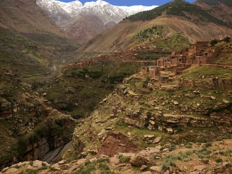
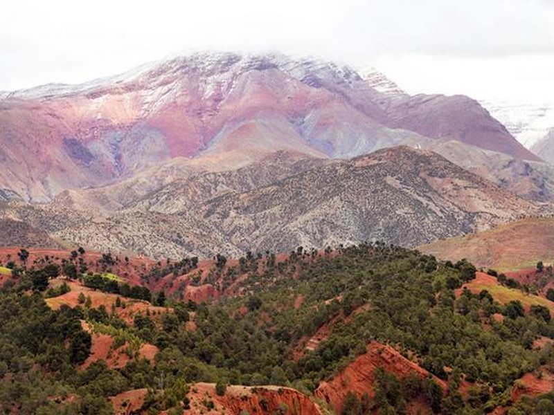
The Rif Range extends along the Mediterranean coast from the Kabylian-Tellian belts up to the Strait of Gibraltar. South of it, the Meseta domain is located, where elevated plateaus and intramontane basins occur. Further south the High Atlas system is found, which displays several massifs close to 4000 m, including the highest peak of northern Africa (Jebel Toubkal). The Middle Atlas represents a branch of the Atlas system that extends obliquely across the Meseta domain, and exceeds 3000 m in elevation. Finally, the Anti-Atlas domain is found, which rises forming a massive mountain that achieves up to 2700 m. Further south the elevation decreases both southward and westward from ca. 1000 m to less than 200 m close to the Atlantic.

Figure 1: Elevation map of Morocco and neighbouring countries from GTOPO30 database (A. Michard et al. 2008)
GEOLOGICAL SETTING OF THE ANTI-ATLAS
The Anti-Atlas mountain belt is located in the northern part of the West African Craton (WAC). It is stretching NE-SW and is characterized by Precambrian to late Proterozoic rocks covered by younger sediments of Edicaran to Cambrian in age. The geological boundary between the Anti-Atlas and High Atlas is structurally marked by the South Atlas fault (SAF) (Fig.2). The Anti-Atlas massif is a zone of wide domal uplift with much weaker Alpine age deformation. The volcanics and conglomerates rocks from the Ouarzazate & Bou Salda group in the North-East are surrounding the older volcanics rocks and turbidite sequences from the Sahgro Group and the Pan-African granite intrusions. This geomorphological feature is commonly called inliers (“boutonnière” in French) and is the result of an exposed older rock formation surrounded by younger rock, and is due to a high erosion rate of rocks with different hardness but also encouraged by deformation such as folding and faulting (Gasquet et al. 2005). Several slivers of ophiolites are present in the Anti-Atlas belt, the best preserved are situated in the Bou Azzer, Siroua and Iriri region, which represent remnant of an ocean closure. The basement is composed of schists, granites and mylonites of Paleoproterozoic age. The latest Variscan and Alpine orogenic events overprint most of the Anti-Atlas geological province and thus complicate the Pre- Cambrian geodynamic interpretation. However, two main periods of tectono-thermal magmatic activity (Gasquet et al. 2005) are now recognised :
(i)A Palaeoproterozoic period, corresponding to the Eburnean (Birimian) orogeny,
(ii)A Neoproterozoic period, corresponding to the Pan-African orogeny.

Figure 2: Schematic map of the Anti-Atlas Precambrian inliers (Boutonnière), and location of the maps, satellite views and lithospheric profile presented hereafter (Gasquet et al. 2008)
Source web : DR.Hervé Rezeau, DR.Cyril Chelle-Michou & DR.Michael Calder unige.ch
Dictionnaire scientifique
Plus de 123.000 mots scientifiques
Les publications
Géo parc Jbel Bani

Circuits & excursions touristiques

cartothéques


Photothéques
Publications & éditions

