

A short overview of the Anti-Atlas, Morocco
DR.Hervé Rezeau, DR.Cyril Chelle-Michou & DR.Michael Calder
SEG Student Chapter of Geneva (Switzerland)
SEG Student Chapter of Montpellier (France)
INTRODUCTION
Geology of Morocco has been subdivided into four structural domains, from north to south they are the following: the Rif domain, the Meseta domain, the High Atlas, and the Anti-Atlas, as they are shown in (Figure 1).
The Rif Range extends along the Mediterranean coast from the Kabylian-Tellian belts up to the Strait of Gibraltar. South of it, the Meseta domain is located, where elevated plateaus and intramontane basins occur. Further south the High Atlas system is found, which displays several massifs close to 4000 m, including the highest peak of northern Africa (Jebel Toubkal). The Middle Atlas represents a branch of the Atlas system that extends obliquely across the Meseta domain, and exceeds 3000 m in elevation. Finally, the Anti-Atlas domain is found, which rises forming a massive mountain that achieves up to 2700 m. Further south the elevation decreases both southward and westward from ca. 1000 m to less than 200 m close to the Atlantic.

Figure 1: Elevation map of Morocco and neighbouring countries from GTOPO30 database (A. Michard et al. 2008)
GEOLOGICAL SETTING OF THE ANTI-ATLAS
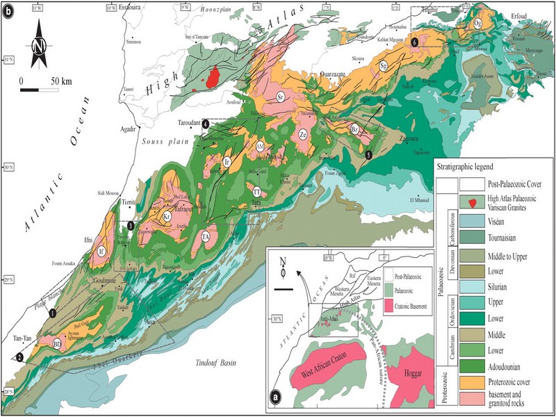
The Anti-Atlas mountain belt is located in the northern part of the West African Craton (WAC). It is stretching NE-SW and is characterized by Precambrian to late Proterozoic rocks covered by younger sediments of Edicaran to Cambrian in age. The geological boundary between the Anti-Atlas and High Atlas is structurally marked by the South Atlas fault (SAF) (Fig.2). The Anti-Atlas massif is a zone of wide domal uplift with much weaker Alpine age deformation. The volcanics and conglomerates rocks from the Ouarzazate & Bou Salda group in the North-East are surrounding the older volcanics rocks
The Anti-Atlas mountain belt is located in the northern part of the West African Craton (WAC). It is stretching NE-SW and is characterized by Precambrian to late Proterozoic rocks covered by younger sediments of Edicaran to Cambrian in age. The geological boundary between the Anti-Atlas and High Atlas is structurally marked by the South Atlas fault (SAF) (Fig.2). The Anti-Atlas massif is a zone of wide domal uplift with much weaker Alpine age deformation. The volcanics and conglomerates rocks from the Ouarzazate & Bou Salda group in the North-East are surrounding the older volcanics rocks and turbidite sequences from the Sahgro Group and the Pan-African granite intrusions. This geomorphological feature is commonly called inliers (“boutonnière” in French) and is the result of an exposed older rock formation surrounded by younger rock, and is due to a high erosion rate of rocks with different hardness but also encouraged by deformation such as folding and faulting (Gasquet et al. 2005). Several slivers of ophiolites are present in the Anti-Atlas belt, the best preserved are situated in the Bou Azzer, Siroua and Iriri region, which represent remnant of an ocean closure. The basement is composed of schists, granites and mylonites of Paleoproterozoic age. The latest Variscan and Alpine orogenic events overprint most of the Anti-Atlas geological province and thus complicate the Pre- Cambrian geodynamic interpretation. However, two main periods of tectono-thermal magmatic activity (Gasquet et al. 2005) are now recognised :
(i)A Palaeoproterozoic period, corresponding to the Eburnean (Birimian) orogeny,
(ii)A Neoproterozoic period, corresponding to the Pan-African orogeny.

Figure 2: Schematic map of the Anti-Atlas Precambrian inliers (Boutonnière), and location of the maps, satellite views and lithospheric profile presented hereafter (Gasquet et al. 2008)
Source web : DR.Hervé Rezeau, DR.Cyril Chelle-Michou & DR.Michael Calder unige.ch
Les articles en relation
Au Pays basque espagnol, les incroyables bisons d'Aitzbitarte
Au Pays basque espagnol, les incroyables bisons d'Aitzbitarte D'exceptionnelles figures vieilles de 14.000 ans ont été découvertes dans une grotte au Pays basque espagnol. Des œuvres d'art pa
Savoir plus...
Des chercheurs espagnols et marocains étudient l'art préhistorique du sud du Maroc
Des chercheurs espagnols et marocains étudient l'art préhistorique du sud du Maroc Un groupe de chercheurs espagnols et marocains s’est lancé dans la troisième phase d’une étude arch
Savoir plus...
Les 20 oiseaux annonciateurs de printemps
Le Maroc par sa position géographique est un pays au carrefour des voies migratoires. Riche en biodiversité grâce aux divers types d’habitats qu’il héberge, notre pays est la patrie de centaines d&
Savoir plus...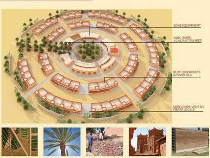
Assa-Zag: Le village écologique Labouirat labellisé COP22
Assa-Zag: Le village écologique Labouirat labellisé COP22 Le projet du village écologique Labouirate qui sera construit dans la province d’Assa-Zag (région Guelmim-Oued Noun) vient d’être
Savoir plus...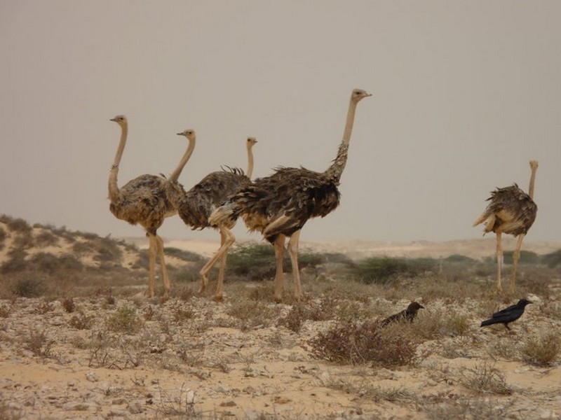
L’autruche à cou rouge : une expérience de conservation qui réussit
L’autruche à cou rouge : une expérience de conservation qui réussit L’autruche est la plus grande de tous les oiseaux actuels. Inapte au vol, mais excellente à la course, sa rapidité au
Savoir plus...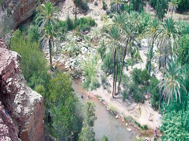
Ce Maroc que les touristes connaissent mieux que nous ! (Géoparc Jbel Bani)
Ce Maroc que les touristes connaissent mieux que nous ! (Géoparc Jbel Bani) Au Maroc, il existe des destinations rarement mentionnées dans les guides touristiques et que seuls quelques initiés fréquentent.
Savoir plus...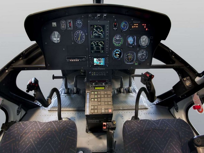
Hélicoptères : à chacun son poids et sa vitesse
Hélicoptères : à chacun son poids et sa vitesse Immédiatement reconnaissables à leur allure, les hélicoptères civils se ressemblent beaucoup, mais sont pourtant très diffé
Savoir plus...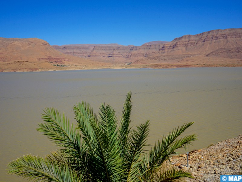
Drâa-Tafilalet : des pluies bienfaitrices redonnent espoir après des années de sécheresse
Drâa-Tafilalet : des pluies bienfaitrices redonnent espoir après des années de sécheresse Errachidia – Après plusieurs années marquées par des périodes de sécheress
Savoir plus...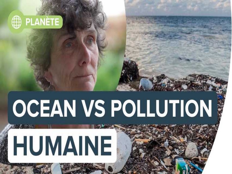
L'Océan en danger face à l'exploitation et la pollution humaine
L'Océan en danger face à l'exploitation et la pollution humaine Dans cette vidéo, Isabelle Autissier, la présidente du WWF France répond à nos questions sur la biodiversité mar
Savoir plus...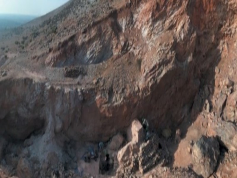
Le Maroc veut classer Jebel Irhoud parmi les sites archéologiques et historiques mondiaux
Le Maroc veut classer Jebel Irhoud parmi les sites archéologiques et historiques mondiaux Le Maroc travaille actuellement pour classer Jebel Irhoud (centre du Maroc), endroit où ont été découverts d
Savoir plus...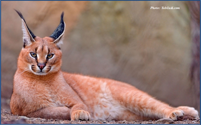
Mrirt: observation d’un caracal
Mrirt: observation d’un caracal Un ornithologue marocain a observé un caracal à l’état sauvage, la semaine dernière, dans la région de Mrirt. Encore une de ces nouvelles qu’on aime. L
Savoir plus...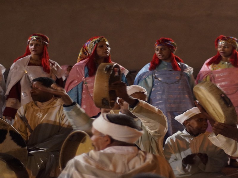
Ahwach,un Folklore mondial
FOLKLORE Ahwach est le nom de la danse des régions chleuh, autrement dit à la zone tachelhiyt (l’Anti-Atlas, le Haut-Atlas occidental, le Haut-Atlas et partant de la ville Demnat à l’Asif Mgun) Les vi
Savoir plus...Les tags en relation
En savoir plus sur " Géologie et TSGJB - AMDGJB "
Consulter les vidéos de " Géologie et TSGJB - AMDGJB " Consulter les photos de " Géologie et TSGJB - AMDGJB " Consulter les publications de " Géologie et TSGJB - AMDGJB " Consulter les éditions de " Géologie et TSGJB - AMDGJB " Consulter les communications de " Géologie et TSGJB - AMDGJB "Recherche du site
Recherche avancée / Spécifique
Géoparc et Recherche Scientifique
Le coins de l’étudiant


Blog Géoparc Jbel Bani
Dictionnaire scientifique
Plus de 123.000 mots scientifiques
Les publications
Géo parc Jbel Bani

Circuits & excursions touristiques

cartothéques


Photothéques
Publications & éditions

