

A short overview of the Anti-Atlas, Morocco
DR.Hervé Rezeau, DR.Cyril Chelle-Michou & DR.Michael Calder
SEG Student Chapter of Geneva (Switzerland)
SEG Student Chapter of Montpellier (France)
INTRODUCTION
Geology of Morocco has been subdivided into four structural domains, from north to south they are the following: the Rif domain, the Meseta domain, the High Atlas, and the Anti-Atlas, as they are shown in (Figure 1).
The Rif Range extends along the Mediterranean coast from the Kabylian-Tellian belts up to the Strait of Gibraltar. South of it, the Meseta domain is located, where elevated plateaus and intramontane basins occur. Further south the High Atlas system is found, which displays several massifs close to 4000 m, including the highest peak of northern Africa (Jebel Toubkal). The Middle Atlas represents a branch of the Atlas system that extends obliquely across the Meseta domain, and exceeds 3000 m in elevation. Finally, the Anti-Atlas domain is found, which rises forming a massive mountain that achieves up to 2700 m. Further south the elevation decreases both southward and westward from ca. 1000 m to less than 200 m close to the Atlantic.

Figure 1: Elevation map of Morocco and neighbouring countries from GTOPO30 database (A. Michard et al. 2008)
GEOLOGICAL SETTING OF THE ANTI-ATLAS
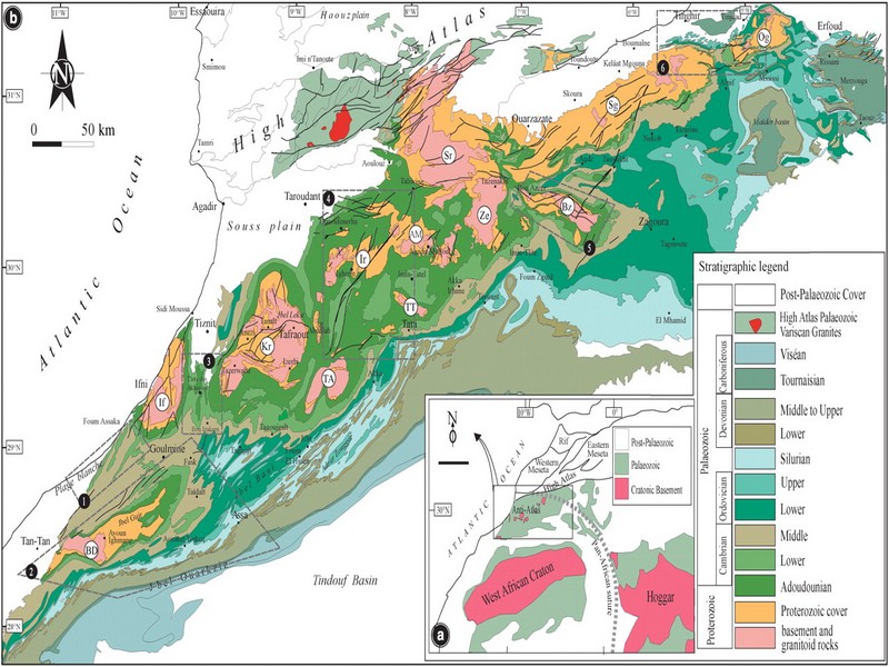
The Anti-Atlas mountain belt is located in the northern part of the West African Craton (WAC). It is stretching NE-SW and is characterized by Precambrian to late Proterozoic rocks covered by younger sediments of Edicaran to Cambrian in age. The geological boundary between the Anti-Atlas and High Atlas is structurally marked by the South Atlas fault (SAF) (Fig.2). The Anti-Atlas massif is a zone of wide domal uplift with much weaker Alpine age deformation. The volcanics and conglomerates rocks from the Ouarzazate & Bou Salda group in the North-East are surrounding the older volcanics rocks
The Anti-Atlas mountain belt is located in the northern part of the West African Craton (WAC). It is stretching NE-SW and is characterized by Precambrian to late Proterozoic rocks covered by younger sediments of Edicaran to Cambrian in age. The geological boundary between the Anti-Atlas and High Atlas is structurally marked by the South Atlas fault (SAF) (Fig.2). The Anti-Atlas massif is a zone of wide domal uplift with much weaker Alpine age deformation. The volcanics and conglomerates rocks from the Ouarzazate & Bou Salda group in the North-East are surrounding the older volcanics rocks and turbidite sequences from the Sahgro Group and the Pan-African granite intrusions. This geomorphological feature is commonly called inliers (“boutonnière” in French) and is the result of an exposed older rock formation surrounded by younger rock, and is due to a high erosion rate of rocks with different hardness but also encouraged by deformation such as folding and faulting (Gasquet et al. 2005). Several slivers of ophiolites are present in the Anti-Atlas belt, the best preserved are situated in the Bou Azzer, Siroua and Iriri region, which represent remnant of an ocean closure. The basement is composed of schists, granites and mylonites of Paleoproterozoic age. The latest Variscan and Alpine orogenic events overprint most of the Anti-Atlas geological province and thus complicate the Pre- Cambrian geodynamic interpretation. However, two main periods of tectono-thermal magmatic activity (Gasquet et al. 2005) are now recognised :
(i)A Palaeoproterozoic period, corresponding to the Eburnean (Birimian) orogeny,
(ii)A Neoproterozoic period, corresponding to the Pan-African orogeny.

Figure 2: Schematic map of the Anti-Atlas Precambrian inliers (Boutonnière), and location of the maps, satellite views and lithospheric profile presented hereafter (Gasquet et al. 2008)
Source web : DR.Hervé Rezeau, DR.Cyril Chelle-Michou & DR.Michael Calder unige.ch
Les articles en relation
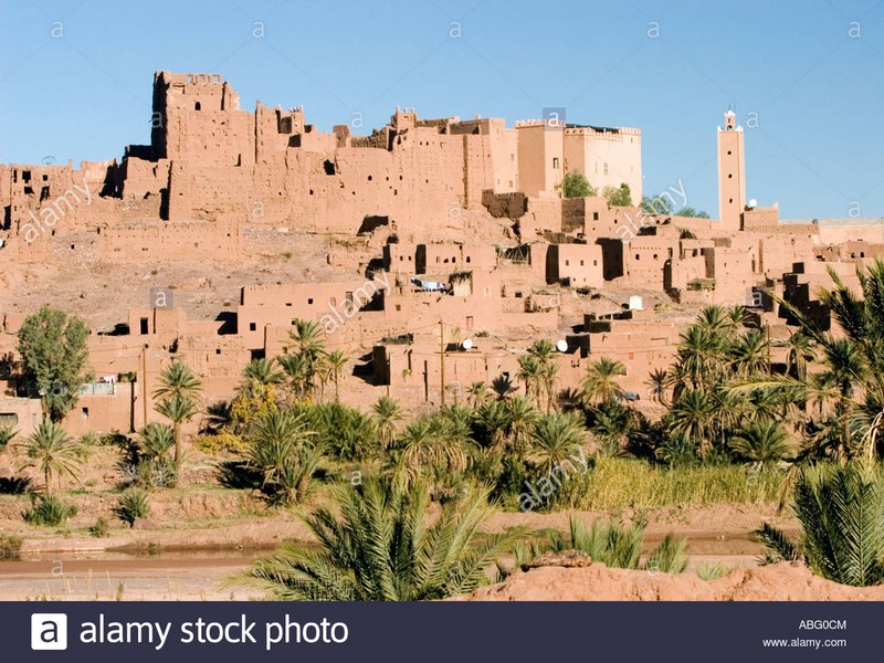
Kasbahs et ksour du sud-est marocain : TIFFOULTOUTE (Geoparc jbel bani)
Kasbahs et ksour du sud-est marocain : TIFFOULTOUTE (Geoparc jbel bani) A 6 km d’Ouarzazate. C'est encore une kasba appartenant à la famille du Glaoui, située sur un piton, au-dessus d'un ksar, entre
Savoir plus...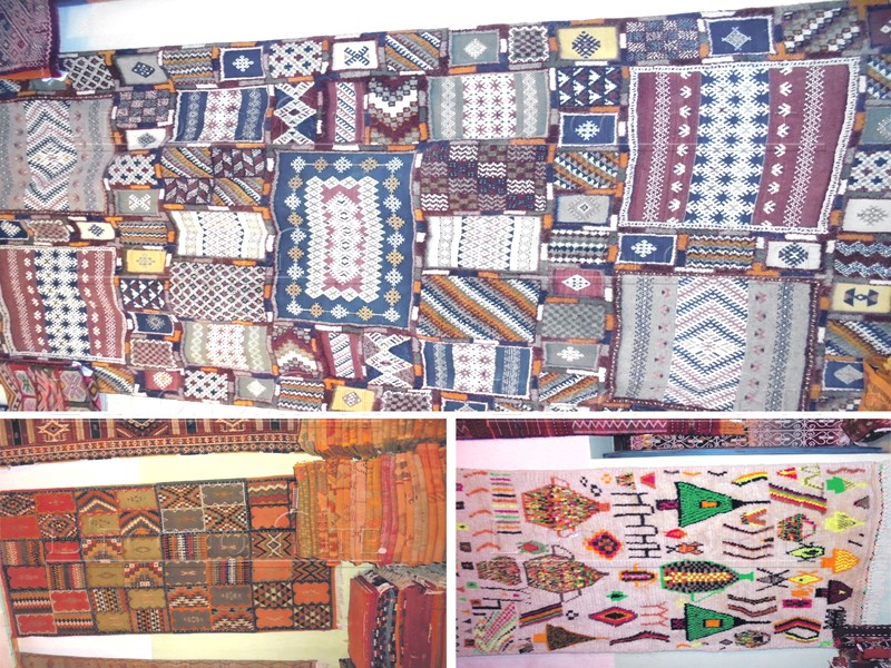
A qui profitent vraiment les revenus du tapis Taznakht (Géoparc Jbel Bani)
A qui profitent vraiment les revenus du tapis Taznakht (Géoparc Jbel Bani) Si le tapis de la région de Taznakht fait sa réputation, c’est grâce à sa laine, ses couleurs, mais aussi au nombre de
Savoir plus...
Préhistoire et Protohistoire du Rif Oriental
Préhistoire et Protohistoire du Rif Oriental 1. Intérêt scientifique : Le projet découle de la réflexion de mener une recherche fondamentale concernant la zone du Maghreb méditerran&
Savoir plus...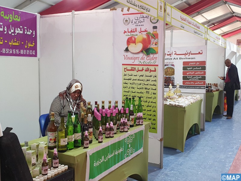
MAROC: Ouverture à Zagora du 3ème Salon régional des produits de terroir
MAROC: Ouverture à Zagora du 3ème Salon régional des produits de terroir Zagora – La 3ème édition du Salon régional des produits de terroir s’est ouverte mercredi à Zagora
Savoir plus...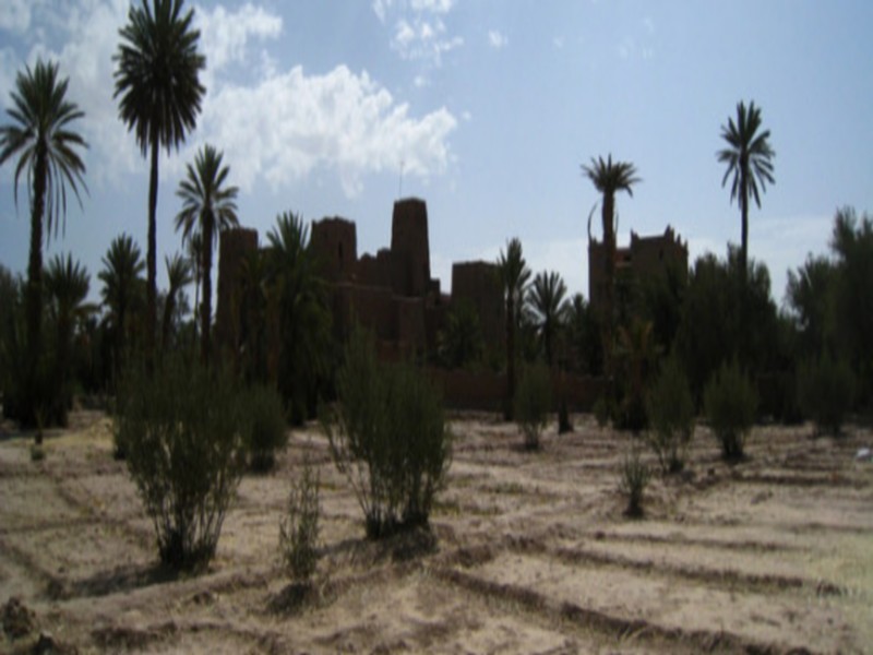
4 questions pour comprendre le retard des pluies au Maroc (et commencer à s'inquiéter)
4 questions pour comprendre le retard des pluies au Maroc (et commencer à s'inquiéter) CLIMAT - La pluie se fait prier. Des prières rogatoires sont même prévues ce vendredi dans tout le royaume p
Savoir plus...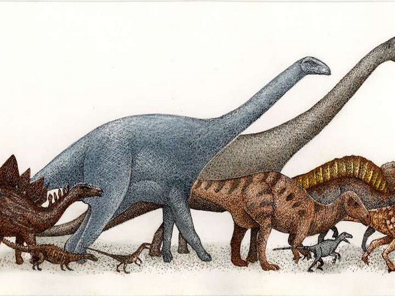
Voici Patagotitan mayorum, le plus grand de tous les dinosaures
Voici Patagotitan mayorum, le plus grand de tous les dinosaures Il y a environ cent millions d'années, dans l'actuelle Patagonie, des jeunes titanosaures vivaient dans une plaine d'inondation qui deviendra plus tar
Savoir plus...
Les secrets des orchidées
Les secrets des orchidées Les orchidées sont de belles fleurs exotiques qui, pour se reproduire, utilisent d'incroyables artifices. C'est sans doute ce qui les rend si fascinantes ! Méconnues, elles reste
Savoir plus...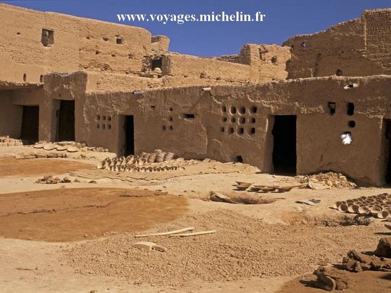
Kasbahs et ksour du sud-est marocain: TAMGROUT (Géoparc jbel bani)
Kasbahs et ksour du sud-est marocain: TAMGROUT (Géoparc jbel bani) Ce ksar est situé à 25 Km de Zagora en direction de M'Hamid. Il est construit sur un plateau pratiquement désertique et comprend 200 h
Savoir plus...
La Tribu Ida Ou Nadif
La Tribu Ida Ou Nadif Histoire d'Ida Ou Nadif Ida Ou Nadif est une tribu berbère. Costumes & Mode Costume traditionnel d'une fille d'Ida Ou Nadif
Savoir plus...
Changement climatique : les fermes éoliennes contribuent-elles vraiment à réchauffer la planète ?
Changement climatique : les fermes éoliennes contribuent-elles vraiment à réchauffer la planète ? Depuis quelques jours, une étude menée par des chercheurs de Harvard (États-Unis) fait
Savoir plus...Les tags en relation
En savoir plus sur " Géologie et Jbel Bani "
Consulter les vidéos de " Géologie et Jbel Bani " Consulter les photos de " Géologie et Jbel Bani " Consulter les publications de " Géologie et Jbel Bani " Consulter les éditions de " Géologie et Jbel Bani " Consulter les communications de " Géologie et Jbel Bani "Recherche du site
Recherche avancée / Spécifique
Géoparc et Recherche Scientifique
Le coins de l’étudiant


Blog Géoparc Jbel Bani
Dictionnaire scientifique
Plus de 123.000 mots scientifiques
Les publications
Géo parc Jbel Bani

Circuits & excursions touristiques

cartothéques


Photothéques
Publications & éditions

