


STRUCTURAL EVOLUTION OF THE ANTI-ATLAS DOMAIN :AN OVERVIEW pour Yves Missenard
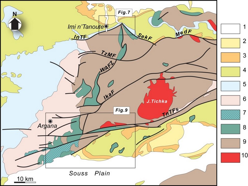
The Anti-Atlas represents the most important segments of the major Pan-African (≈0.5Ga) belt system of North Africa. This orogen exposed in a series of sporadic SW–NEtrending outcrops over 700km across southern Morocco, and reach ≈150km wide in the central part, west of Ouarzazate (Figure G1 & G2).Scattered outcrops of related rocks are described in NW Algeria which indicate that the belt continues from SE Morocco southeastwards with a NW–SEtrend.
The Anti-Atlas orogen comprises two main sequences of rocks: a metamorphic basement of Palaeoproterozoic (2Ga) age and the Neoproterozoic rocks. The Palaeoproterozoic rocks form the northern margin of the West African Craton mainly outcropping in the Reguibate Shield in Mauritania And Algeria. The Palaeoproterozoic basement is exposed in a series of uplifted inliers (‘‘boutonnieres’’) surrounded by the Neoproterozoic rocks that were locally deformed with the basement during the Pan African Orogeny. with the during the Pan African Orogeny.
Paleoproterozoic rocks and Eburnian orogeny
The oldest rocks of Morocco, Archean in age3 Ga(Montero et al, 2014) crop out in the southernmost Reguibat E shield which formsthe northern part the West African Craton (WAC).Further north, in the Anti-Atlas chain, the basement units are Paleoproterozoic (Taznakht Group, former” PI”)cropping only in the south of the Anti-Atlas Major Fault (AAMF). They are metamorphic rocks (greenschist to amphibolite facies) intruded by peraluminous and calc-alkaline granitoids dated around 2Ga(Thomas et al, 2002).The corresponding tectono-magmatic and metamorphic events are assigned to the Eburnian/Birimian orogeny.
Neoproterozoic rocks and Pan-African orogeny
As everywhere in the WAC, Mesoproterozoic rocks are lacking in the Anti-Atlas. Neoproterozoic Formations overlie directly the Paleoproterozoic basement. The Neoproterozoic/Paleoproterozoic boundary is generallya tectonic contact (thrust, strike-slip or detachment faults), and seldom a stratigraphic contact (Tizi n’Taghatine). Globally, the Neoproterozoic formations record three main stages of the Pan-African cycle (figureG4):
I .The early Neoproterozoic platform development is marked by the accumulation of thousands of meters of quartzites and stromatolitic limestones (Taghdoute Group, former “PII”), intruded by doleritic dykes and gabbroic intrusions. These rocks are associated with the rifting of the WAC margin, broadly contemporaneous with the oceanic accretion further north (760 Ma), witnessed along the AAMF by the Bou Azzer-El Graara and Siroua ophiolitic sequences (Bou Azzer Group).
II .Oceanic closure and subsequent Pan-African collision are associated with oceanic subduction along the northern margin of the WAC, ending with the accretion of oceanic arc formations (figureG4).The reported “blueschist facies” mineral associations in the Bou Azzer inlier are controversial. The polarity of the subduction remains also matter of debates; the same is true for the real location of the northern edge of the WAC. The oblique Pan-African collision(655 Ma to 640 Ma) generated south-verging thrust sheets onto the cratonic margin. South of the AAMF, the main Pan-African phase is recorded by low grade recrystallizations, synmetamorphic folds and various ductile and brittle structures in the Taghdout Group series.
III The Late to Post Pan-African extensional event is recorded by the extensive volcanic and volcano clastic series of the Ouarzazate Group (former “PIII”, 580 Ma to 560Ma), interbedded with subaerial to lacustrine deposits, which unconformably overlie the Eburnian and/or Pan-African basement units. The Ouarzazate Group shows abrupt variations of thickness and facies controlled by extensional tectonic activity. Various high-K calc-alkaline to alkaline plutons emplaced within the Ouarzazate Group, coeval with the volcanic rocks of comparable chemistry.

FigureG4: Generalized lithostratigraphic column for the Anti-Atlas Pan-African orogen. “PI” = “XI”, etc. are the classical stratigraphic symbols used on Anti-Atlas geological maps. HKCA: High-K calc-alkaline (granitoids) after Thomas et al. (2004), Gasquet et al. (2005) and Liégeois et al.2006 in Youbi et al., 2013

Source web par sociedadgeologica.es
Les articles en relation
Patrimoine : Le Maroc en état d’alerte
Patrimoine : Le Maroc en état d’alerte Le royaume compte se doter d’un plan pour lutter contre le trafic illicite des biens culturels. Un programme dans ce sens vient d’être lancé en partenariat
Savoir plus...
Les montagnes de l’Atlas marocain et leur incroyable diversité (Géoparc Jbel Bani)
Les montagnes de l’Atlas marocain et leur incroyable diversité (Géoparc Jbel Bani) Les montagnes de l’Atlas marocain et leur incroyable diversité Les montagnes de l’Atlas s’étend
Savoir plus...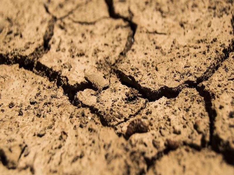
Stress hydrique
Stress hydrique Le terme de stress hydrique est apparu relativement récemment pour rendre compte d'une situation de plus en plus fréquente. Ainsi, il est employé pour désigner ces périodes duran
Savoir plus...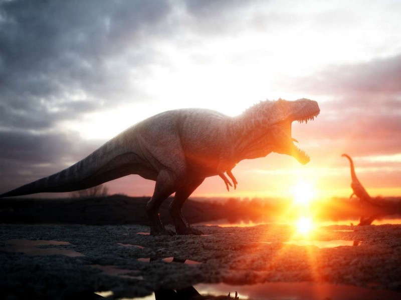
Disparition des dinosaures : quand les mammifères sortent au grand jour
Disparition des dinosaures : quand les mammifères sortent au grand jour Nos lointains ancêtres mammifères appréciaient la vie nocturne. Puis, certains d'entre eux au moins se sont aventurés dans
Savoir plus...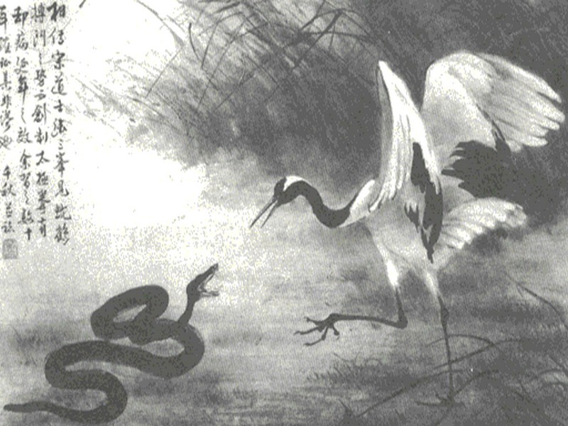
Les 10 serpents les plus dangereux et les plus venimeux de la planète
Les 10 serpents les plus dangereux et les plus venimeux de la planète Lors de vos divers voyages aux 4 coins de la planète, vous pouvez être confrontés à des reptiles forts peu sympathiques. Et voir
Savoir plus...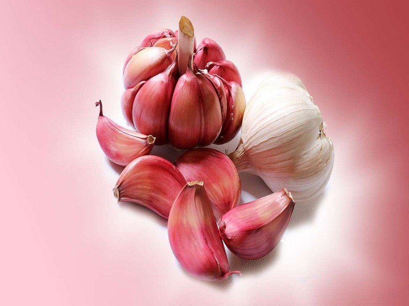
Pourquoi l'ail donne-t-il mauvaise haleine ?
Pourquoi l'ail donne-t-il mauvaise haleine ? L'ail est souvent utilisé en cuisine mais son ingestion est inévitablement accompagnée d'une haleine indésirable. Tout comme pour les oignons, les s
Savoir plus...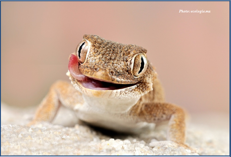
Le gecko casqué
Le gecko casqué Le gecko casqué (Tarentola chazaliae) est un lézard de petite taille qui ne dépasse pas 10 cm de longueur. Il doit son nom à la forme de sa tête qui rappelle celle d’un casqu
Savoir plus...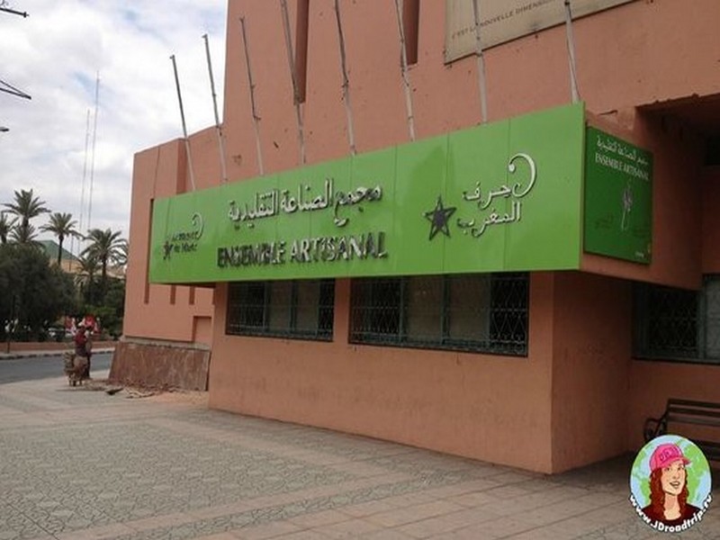
Le complexe artisanal de Foum El Hisn transformé en dépotoir
Construit, il y a quelques années, le complexe artisanal de Foum El Hisn , province de Tata, favorise le regroupement des artisans et des professionnels pour leur permettre de stoker leurs produits en attendant leur commercialisa
Savoir plus...
Ce Maroc que les touristes connaissent mieux que nous ! (Géoparc Jbel Bani)
Ce Maroc que les touristes connaissent mieux que nous ! (Géoparc Jbel Bani) Au Maroc, il existe des destinations rarement mentionnées dans les guides touristiques et que seuls quelques initiés fréquentent.
Savoir plus...
Le destin des hommes (1). Nomadisme, sédentarité, ubiquité
Le destin des hommes (1). Nomadisme, sédentarité, ubiquité La planète Terre a 4 500 millions d’années (4,5 milliards) et l’humanité (les hominidés) environ 7 millions d&rsq
Savoir plus...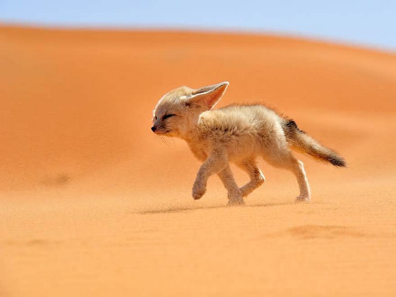
Les trois espèces de renards marocains
Au Maroc existe encore trois types de renards: le renard roux, le fennec et le renard famélique (de ruppell). Le renard roux (Vulpes vulpes) est une espèce cosmopolite, qui se rencontre dans l’ensemble du Pa
Savoir plus...
Des dinosaures à Figuig
Des dinosaures à Figuig C’est inédit. Une équipe du laboratoire des «gîtes minéraux, hydrogéologie et environnement», de l’Université Mohammed Ier, a réce
Savoir plus...Les tags en relation
En savoir plus sur " Géologie et TSGJB - AMDGJB ! "
Consulter les vidéos de " Géologie et TSGJB - AMDGJB ! " Consulter les photos de " Géologie et TSGJB - AMDGJB ! " Consulter les publications de " Géologie et TSGJB - AMDGJB ! " Consulter les éditions de " Géologie et TSGJB - AMDGJB ! " Consulter les communications de " Géologie et TSGJB - AMDGJB ! "Recherche du site
Recherche avancée / SpécifiqueVulgarisation à la géologie
Qu'est ce que les sciences de la terre: vulgarisation Qu'est ce que la géologie ? Géologie et TSGJB - AMDGJB !
Géoparc et Recherche Scientifique
Le coins de l’étudiant


Blog Géoparc Jbel Bani
Dictionnaire scientifique
Plus de 123.000 mots scientifiques
Les publications
Géo parc Jbel Bani

Circuits & excursions touristiques

cartothéques


Photothéques
Publications & éditions

