


ORE DEPOSITS IN THE ANTI-ATLAS AND SUB-ATLAS REGIONS
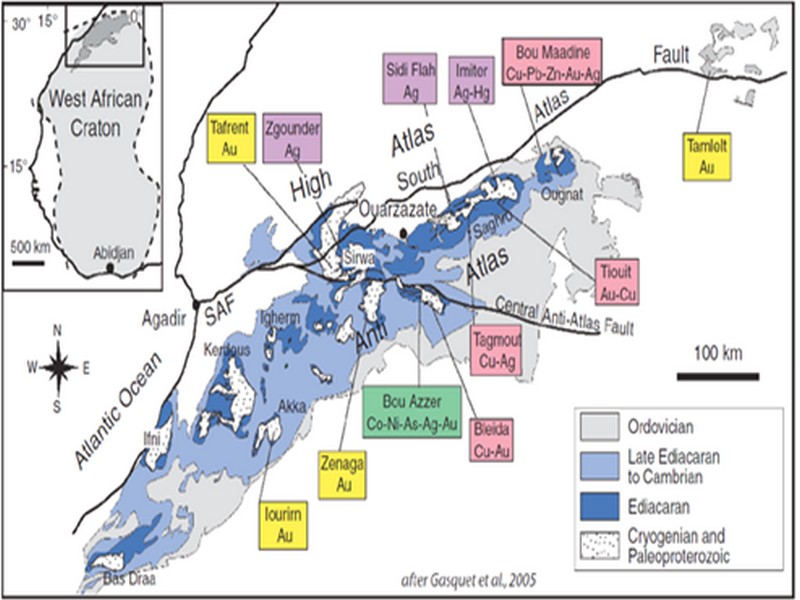
The Anti-Atlas geological province is the host of a variety of ore deposits, ranging from Paléoprotérozoïque to Ordovician in age. These deposits are mainly Cu-Au porphyry types, precious metal epithermal (Au, Ag) or polymetallic VMS base metals (Cu, Pb, Zn, Au, and Ag), while the sub- Atlas region presents an important occurrence of manganese. Figure 8 shows the location of the most important deposits in the Anti-Atlas region.
Located in eastern Anti-Atlas, the world class Imiter Ag-Hg mine (8.5 Mt at 700g/t Ag), is among the most important deposits in Morocco. It is considered to be of epithermal origin. The silver mineralisation happened during regional extension (+/- transpession?) tectonic regime event around 550 and is hosted in a series of volcanic felsic rocks Ma (Tuduri et al, 2006). Briefly, a three-stage model has been proposed to explain the deposit: a first episode characterized by the development of quartz, pink dolomite, and Ag-rich minerals veins formed during a dextral transpressive event, followed by a barren stage associated with a normal left-lateral motion that re-opened previous structures, and a final alteration stage (i.e. supergene enrichment) that contributed to local enrichment in Ag deposit (Tuduri et al, 2006).
Regarding copper, Bleida was the most important Cu deposit of northern Africa until late 90’s. Located on the northern edge of the West African Craton, the Bleida orebodies are located on an inactive continental margin along with preserved ophiolites of Upper Proterozoic age. The copper deposits (chalcopyrite, bornite, pyrite) are stratiform distal massive sulfide bodies whose position is controlled by both the sedimentation of shales and an acid volcanism, which follows a more important basic volcanism. Pan-African deformation (650-600 Ma) has determined the current geometry of the cupriferous lenses although it has not remobilized the sulfides out of their original carrier beds (Leblanc and Billaud, 2006). West of the main Moroccan Bleida copper deposit, gold mineralization has also been discovered (West Bleida, ca. 3 tonnes metal Au). It is hosted by metamorphosed and deformed mafic to intermediate volcanic rocks that are part of the Neoproterozoic tholeiitic volcano-sedimentary series forming the stratigraphically upper part of the Bou Azzer ophiolite sequence. Gold mineralization primarily occurs
as deformed gold-bearing quartz veins and disseminations in Cu-rich chert zones (chalcopyrite– malachite), Fe-rich lithofacies and breccia zones. Gold is accompanied by small amounts of copper sulphides (<1% modal chalcopyrite).
Another important occurrence (not displayed in the map, Fig. 8) is the Imini Manganese deposit, the most important Mn deposit of Morocco, located in the western margin of the Ouarzazate foreland basin (Sub-Atlas). The manganese ore is made of pyrolusite (MnO2), and is hosted in different horizons of dolomites from the lower Cretaceous, and another accessory layer. This layers thickness can reach up to 1 meter. The deposit scale is 25 km per 100-400 m width, and sits above slates and crystalline rocks. Dolomitic sandstone and/or conglomerate are present between each mineralized horizon. Isabel von Steinaecker; source: http://www.geo.tu-freiberg.de/oberseminar/os03_04/Isabel_Steinaecker.pdf).

Figure 8: The Anti-Atlas belt at the northern limit of the West African Craton. Redrawn after Dallmeyer and Lecorché (1991) and a geological sketch map of the Anti-Atlas belt in southern Morocco and location of main ore deposits. SAF: South Atlas Fault. Gasquet and al. (2005)
Source web par unige.ch
Les articles en relation

Les éclipses de Soleil ont permis de grandes découvertes scientifiques
Les éclipses de Soleil ont permis de grandes découvertes scientifiques Depuis plus de 2.000 ans, les éclipses de Soleil ont permis des bonds de géant en astronomie. Par des méthodes astucieuses, des
Savoir plus...
L’Artisanat au Maroc
L’Artisanat au Maroc L’artisanat est classé au bon rang vis-à-vis des autres activités économiques au Maroc. Il représente l’énorme gisement économique du pays. Les p
Savoir plus...
Défense de l'Environnement- Partenaires - durabilité
La défense de l’environnement ne s’arrête pas à nos frontières Les problèmes environnementaux n’ont pas de frontières. La destruction de la biodiversité ou le changeme
Savoir plus...
Ce Maroc que les touristes connaissent mieux que nous ! (Géoparc Jbel Bani)
Ce Maroc que les touristes connaissent mieux que nous ! (Géoparc Jbel Bani) Au Maroc, il existe des destinations rarement mentionnées dans les guides touristiques et que seuls quelques initiés fréquentent.
Savoir plus...
Plantes d’intérieur : conseils et astuces pour l'entretien
Plantes d’intérieur : conseils et astuces pour l'entretien Un intérieur verdoyant et agrémenté de fleurs, c'est agréable. Mais maintenir ses plantes vertes en vie est parfois dé
Savoir plus...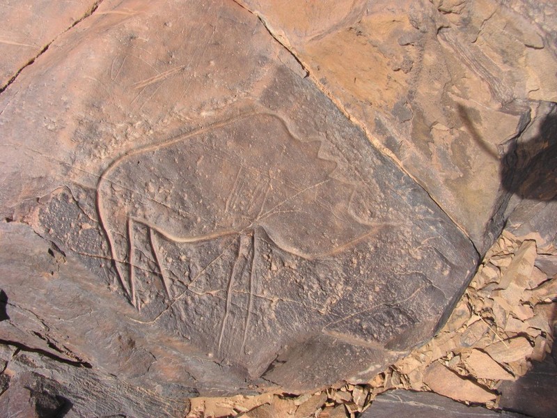
Maroc : Appel pour la préservation des sites rupestres dans la région de Tata
Maroc : Appel pour la préservation des sites rupestres dans la région de Tata Les travaux d’une rencontre tenue, récemment à Tata, sur la préservation des sites rupestres de la province ont &e
Savoir plus...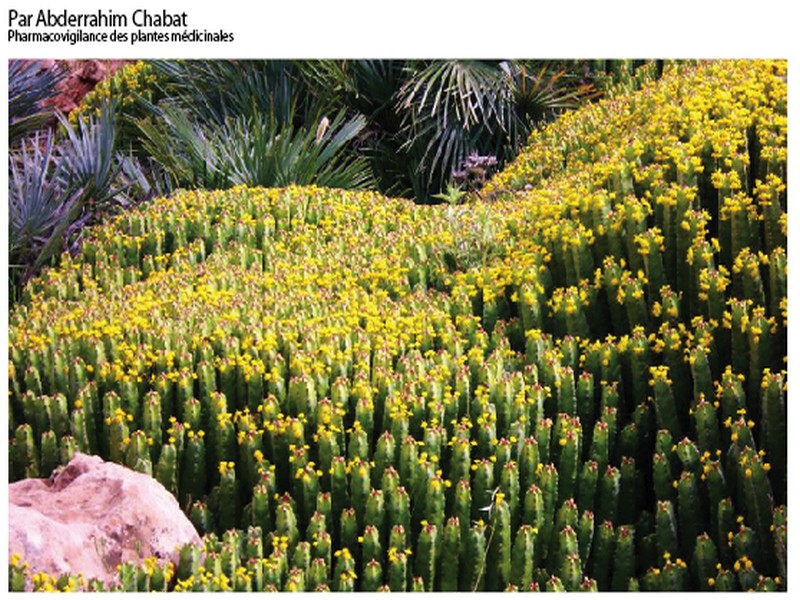
Utilisation de « Daghmous »
Utilisation de « Daghmous » L’alerte du CAPM Le CAPM tire la sonnette d’alarme vis-à-vis de l’augmentation de l'utilisation du « Daghmous » au vu des risques que cela peut enge
Savoir plus...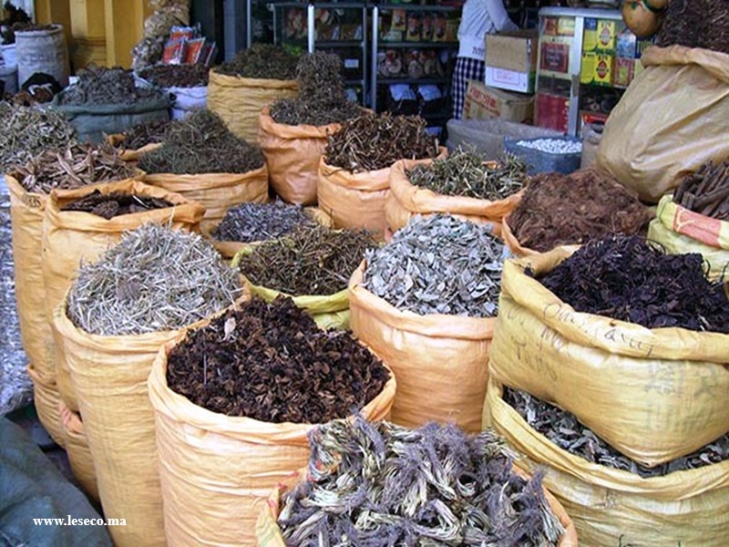
Les plantes aromatiques et médicinales (PAM) au Maroc
Les plantes aromatiques et médicinales (PAM) au Maroc La filière des plantes aromatiques et médicinales (PAM) au Maroc regorge de potentiel grâce à la diversité de ses espèces. Plus de
Savoir plus...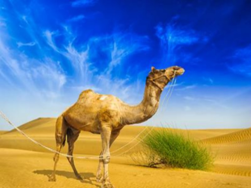
Le dromadaire
Egalement appelé « Chameau d’Arabie », le dromadaire fait figure de véritable icône au sein des mammifères vivants dans le désert du Sahara. S’il fut longtemps indispensable &agr
Savoir plus...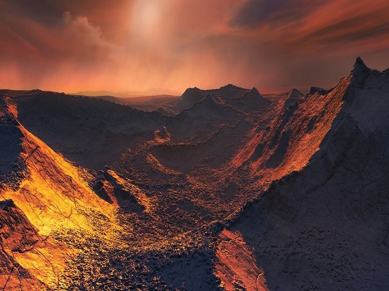
Découverte d'une nouvelle
Découverte d'une nouvelle "super-terre" pas si loin de nous Une "super-terre" a été découverte en orbite autour d'une étoile "voisine" du système solaire
Savoir plus...
Le hérisson du désert
Le hérisson du désert Le hérisson du désert est un animal très solitaire, qui aime pendant la journée se réfugier sous un terrier abandonné. Il est très actif à pa
Savoir plus...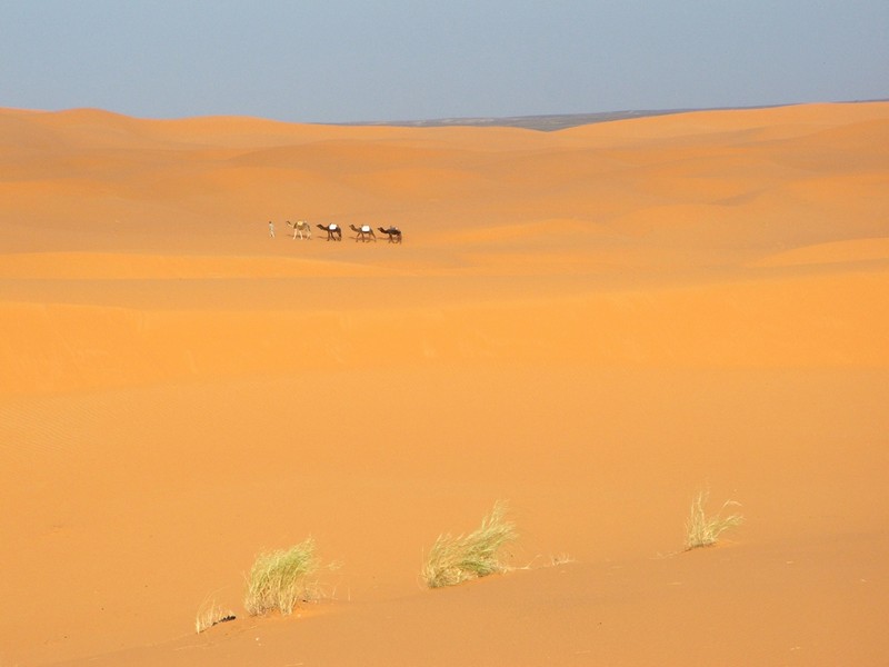
Le mystère des sons du désert résolu
Le mystère des sons du désert résolu Il est connu que les sons étranges entendus dans le désert sont produits par les dunes de sable sujettes aux avalanches. Mais le mécanisme exact qui se tr
Savoir plus...Les tags en relation
En savoir plus sur " Géologie et TSGJB - AMDGJB ! "
Consulter les vidéos de " Géologie et TSGJB - AMDGJB ! " Consulter les photos de " Géologie et TSGJB - AMDGJB ! " Consulter les publications de " Géologie et TSGJB - AMDGJB ! " Consulter les éditions de " Géologie et TSGJB - AMDGJB ! " Consulter les communications de " Géologie et TSGJB - AMDGJB ! "Recherche du site
Recherche avancée / SpécifiqueVulgarisation à la géologie
Qu'est ce que les sciences de la terre: vulgarisation Qu'est ce que la géologie ? Géologie et TSGJB - AMDGJB !
Géoparc et Recherche Scientifique
Le coins de l’étudiant


Blog Géoparc Jbel Bani
Dictionnaire scientifique
Plus de 123.000 mots scientifiques
Les publications
Géo parc Jbel Bani

Circuits & excursions touristiques

cartothéques


Photothéques
Publications & éditions

