


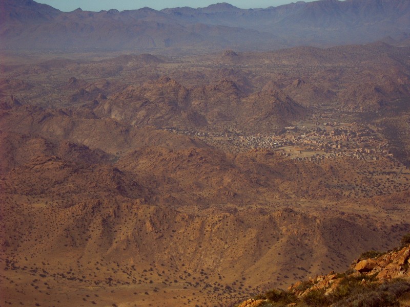
ORE DEPOSITS IN THE ANTI-ATLAS AND SUB-ATLAS REGIONS
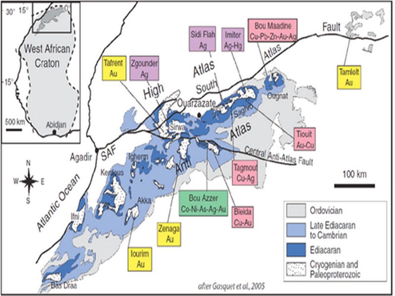
The Anti-Atlas geological province is the host of a variety of ore deposits, ranging from Paléoprotérozoïque to Ordovician in age. These deposits are mainly Cu-Au porphyry types, precious metal epithermal (Au, Ag) or polymetallic VMS base metals (Cu, Pb, Zn, Au, and Ag), while the sub- Atlas region presents an important occurrence of manganese. Figure 8 shows the location of the most important deposits in the Anti-Atlas region.
Located in eastern Anti-Atlas, the world class Imiter Ag-Hg mine (8.5 Mt at 700g/t Ag), is among the most important deposits in Morocco. It is considered to be of epithermal origin. The silver mineralisation happened during regional extension (+/- transpession?) tectonic regime event around 550 and is hosted in a series of volcanic felsic rocks Ma (Tuduri et al, 2006). Briefly, a three-stage model has been proposed to explain the deposit: a first episode characterized by the development of quartz, pink dolomite, and Ag-rich minerals veins formed during a dextral transpressive event, followed by a barren stage associated with a normal left-lateral motion that re-opened previous structures, and a final alteration stage (i.e. supergene enrichment) that contributed to local enrichment in Ag deposit (Tuduri et al, 2006).
Regarding copper, Bleida was the most important Cu deposit of northern Africa until late 90’s. Located on the northern edge of the West African Craton, the Bleida orebodies are located on an inactive continental margin along with preserved ophiolites of Upper Proterozoic age. The copper deposits (chalcopyrite, bornite, pyrite) are stratiform distal massive sulfide bodies whose position is controlled by both the sedimentation of shales and an acid volcanism, which follows a more important basic volcanism. Pan-African deformation (650-600 Ma) has determined the current geometry of the cupriferous lenses although it has not remobilized the sulfides out of their original carrier beds (Leblanc and Billaud, 2006). West of the main Moroccan Bleida copper deposit, gold mineralization has also been discovered (West Bleida, ca. 3 tonnes metal Au). It is hosted by metamorphosed and deformed mafic to intermediate volcanic rocks that are part of the Neoproterozoic tholeiitic volcano-sedimentary series forming the stratigraphically upper part of the Bou Azzer ophiolite sequence. Gold mineralization primarily occurs
as deformed gold-bearing quartz veins and disseminations in Cu-rich chert zones (chalcopyrite– malachite), Fe-rich lithofacies and breccia zones. Gold is accompanied by small amounts of copper sulphides (<1% modal chalcopyrite).
Another important occurrence (not displayed in the map, Fig. 8) is the Imini Manganese deposit, the most important Mn deposit of Morocco, located in the western margin of the Ouarzazate foreland basin (Sub-Atlas). The manganese ore is made of pyrolusite (MnO2), and is hosted in different horizons of dolomites from the lower Cretaceous, and another accessory layer. This layers thickness can reach up to 1 meter. The deposit scale is 25 km per 100-400 m width, and sits above slates and crystalline rocks. Dolomitic sandstone and/or conglomerate are present between each mineralized horizon. Isabel von Steinaecker; source: http://www.geo.tu-freiberg.de/oberseminar/os03_04/Isabel_Steinaecker.pdf).

Figure 8: The Anti-Atlas belt at the northern limit of the West African Craton. Redrawn after Dallmeyer and Lecorché (1991) and a geological sketch map of the Anti-Atlas belt in southern Morocco and location of main ore deposits. SAF: South Atlas Fault. Gasquet and al. (2005)
Source web par unige.ch
Les articles en relation
Fiche technique du SIBE "Jbel Kest (62)" (Géoparc Jbel Bani)
Fiche technique du SIBE "Jbel Kest (62)" (Géoparc Jbel Bani) Date de publication 27/11/2006 Couverture géographique Maroc, Mots-clefs Aire protégée, SIBE, Coordonnées : 29°
Savoir plus...
Anti-Atlas: Un PPP pour le «Géoparc» Jbel Bani (Géoparc Jbel Bani)
Anti-Atlas: Un PPP pour le «Géoparc» Jbel Bani (Géoparc Jbel Bani) Le Géoparc Jbel Bani. L’idée de ce projet a démarré d’une rencontre publ
Savoir plus...
CADRE GEOLOGIQUE pour Charles Robert-Charrue
CADRE GEOLOGIQUE pour Charles Robert-Charrue Etat des connaissances Tectonique globale L’Anti-Atlas est situé sur la bordure nord du craton ouest africain (Figure 2, p. 3). Cette zone est particulière
Savoir plus...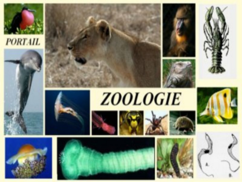
La zoologie
Que signifie zoologie ? La zoologie est une branche de la biologie, une science qui concerne l'étude du règne animal, à la fois vivant et éteint (en paléozoologie), dont le spécialiste es
Savoir plus...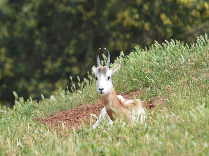
La diversité génétique: un défi à relever pour une Conservation réussie des antilopes
La diversité génétique: un défi à relever pour une Conservation réussie des antilopes Au Jardin Zoologique National, une nouvelle conférence sur la thématique de la Conservation
Savoir plus...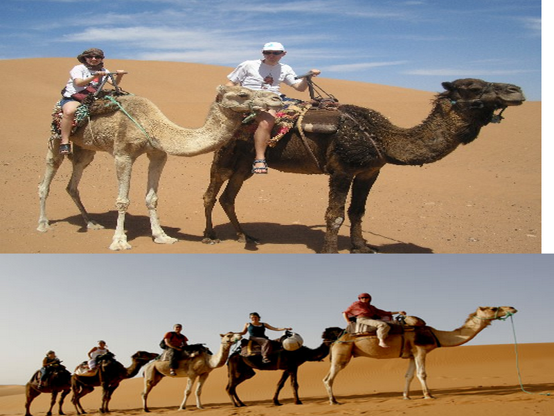
Le dromadaire marocain
Dans certaines régions, il est encore utilisé comme un moyen de locomotion. Ses poils quand ils tombent lors de sa mue annuelle servent à fabriquer des tapis et des vêtements. Le lait de dromadaire bien plus r
Savoir plus...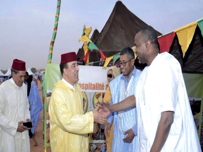
Le Sahara marocain
Le Sahara marocain Terre aride et inhospitalière, le Sahara marocain n’en reste pas moins d’une importance centrale dans l’histoire des civilisations au Maroc. Depuis le onzième millénaire avant
Savoir plus...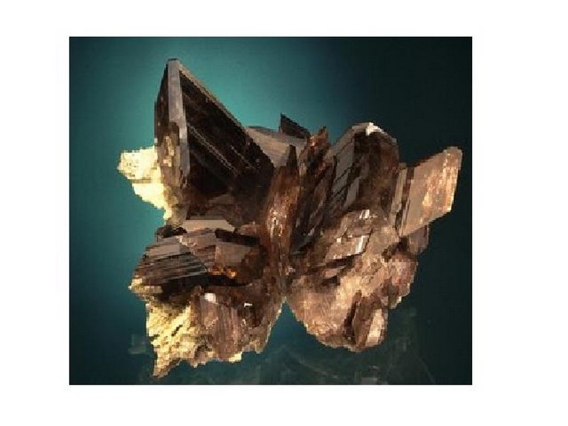
Minéraux
Minéraux Un DVD sur les minéraux, les cristalliers et les sites minéralogiques d'Oisans (Isère). Un minéral, de l'axinite des Alpes. A Bourg d'Oisans, les histoires de cristalliers
Savoir plus...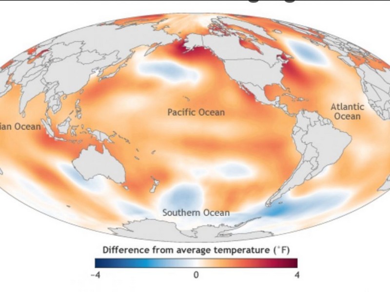
Bilan catastrophique pour le climat en 2016
Bilan catastrophique pour le climat en 2016 Le dernier rapport annuel de la NOAA et de l'American Meteorological Society (AMS) montre que températures, montée des océans et émissions de gaz à ef
Savoir plus...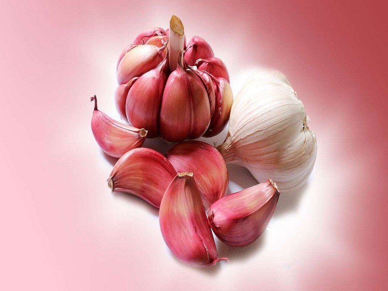
Pourquoi l'ail donne-t-il mauvaise haleine ?
Pourquoi l'ail donne-t-il mauvaise haleine ? L'ail est souvent utilisé en cuisine mais son ingestion est inévitablement accompagnée d'une haleine indésirable. Tout comme pour les oignons, les s
Savoir plus...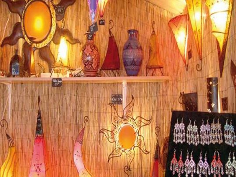
Artisanat: Tarfaya à l’heure de son Salon régional
Artisanat: Tarfaya à l’heure de son Salon régional Le Salon régional de l’artisanat de Tarfaya a été inauguré mardi avec la participation d’exposants venus des diff&ea
Savoir plus...Les tags en relation
En savoir plus sur " Géologie et TSGJB - AMDGJB ! "
Consulter les vidéos de " Géologie et TSGJB - AMDGJB ! " Consulter les photos de " Géologie et TSGJB - AMDGJB ! " Consulter les publications de " Géologie et TSGJB - AMDGJB ! " Consulter les éditions de " Géologie et TSGJB - AMDGJB ! " Consulter les communications de " Géologie et TSGJB - AMDGJB ! "Recherche du site
Recherche avancée / SpécifiqueVulgarisation à la géologie
Qu'est ce que les sciences de la terre: vulgarisation Qu'est ce que la géologie ? Géologie et TSGJB - AMDGJB !
Géoparc et Recherche Scientifique
Le coins de l’étudiant


Blog Géoparc Jbel Bani
Dictionnaire scientifique
Plus de 123.000 mots scientifiques
Les publications
Géo parc Jbel Bani

Circuits & excursions touristiques

cartothéques


Photothéques
Publications & éditions

