

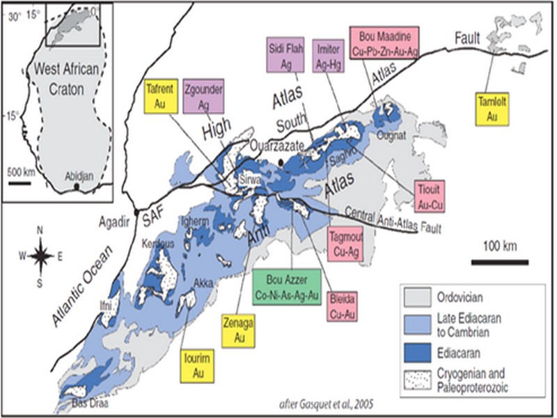

ORE DEPOSITS IN THE ANTI-ATLAS AND SUB-ATLAS REGIONS
The Anti-Atlas geological province is the host of a variety of ore deposits, ranging from Paléoprotérozoïque to Ordovician in age. These deposits are mainly Cu-Au porphyry types, precious metal epithermal (Au, Ag) or polymetallic VMS base metals (Cu, Pb, Zn, Au, and Ag), while the sub- Atlas region presents an important occurrence of manganese. Figure 8 shows the location of the most important deposits in the Anti-Atlas region.
Located in eastern Anti-Atlas, the world class Imiter Ag-Hg mine (8.5 Mt at 700g/t Ag), is among the most important deposits in Morocco. It is considered to be of epithermal origin. The silver mineralisation happened during regional extension (+/- transpession?) tectonic regime event around 550 and is hosted in a series of volcanic felsic rocks Ma (Tuduri et al, 2006). Briefly, a three-stage model has been proposed to explain the deposit: a first episode characterized by the development of quartz, pink dolomite, and Ag-rich minerals veins formed during a dextral transpressive event, followed by a barren stage associated with a normal left-lateral motion that re-opened previous structures, and a final alteration stage (i.e. supergene enrichment) that contributed to local enrichment in Ag deposit (Tuduri et al, 2006).
Regarding copper, Bleida was the most important Cu deposit of northern Africa until late 90’s. Located on the northern edge of the West African Craton, the Bleida orebodies are located on an inactive continental margin along with preserved ophiolites of Upper Proterozoic age. The copper deposits (chalcopyrite, bornite, pyrite) are stratiform distal massive sulfide bodies whose position is controlled by both the sedimentation of shales and an acid volcanism, which follows a more important basic volcanism. Pan-African deformation (650-600 Ma) has determined the current geometry of the cupriferous lenses although it has not remobilized the sulfides out of their original carrier beds (Leblanc and Billaud, 2006). West of the main Moroccan Bleida copper deposit, gold mineralization has also been discovered (West Bleida, ca. 3 tonnes metal Au). It is hosted by metamorphosed and deformed mafic to intermediate volcanic rocks that are part of the Neoproterozoic tholeiitic volcano-sedimentary series forming the stratigraphically upper part of the Bou Azzer ophiolite sequence. Gold mineralization primarily occurs
as deformed gold-bearing quartz veins and disseminations in Cu-rich chert zones (chalcopyrite– malachite), Fe-rich lithofacies and breccia zones. Gold is accompanied by small amounts of copper sulphides (<1% modal chalcopyrite).
Another important occurrence (not displayed in the map, Fig. 8) is the Imini Manganese deposit, the most important Mn deposit of Morocco, located in the western margin of the Ouarzazate foreland basin (Sub-Atlas). The manganese ore is made of pyrolusite (MnO2), and is hosted in different horizons of dolomites from the lower Cretaceous, and another accessory layer. This layers thickness can reach up to 1 meter. The deposit scale is 25 km per 100-400 m width, and sits above slates and crystalline rocks. Dolomitic sandstone and/or conglomerate are present between each mineralized horizon. Isabel von Steinaecker; source: http://www.geo.tu-freiberg.de/oberseminar/os03_04/Isabel_Steinaecker.pdf).

Figure 8: The Anti-Atlas belt at the northern limit of the West African Craton. Redrawn after Dallmeyer and Lecorché (1991) and a geological sketch map of the Anti-Atlas belt in southern Morocco and location of main ore deposits. SAF: South Atlas Fault. Gasquet and al. (2005)
Source web par unige.ch
Les articles en relation

Les accacias du Maroc
Acacias du Maroc Au Maroc, quatre « acacias » existent à l’état spontané: Acacia gummifera, Acacia raddian, Acacia ehrenbergiana et Acacia albida. L’Acacia gummifera « gommi
Savoir plus...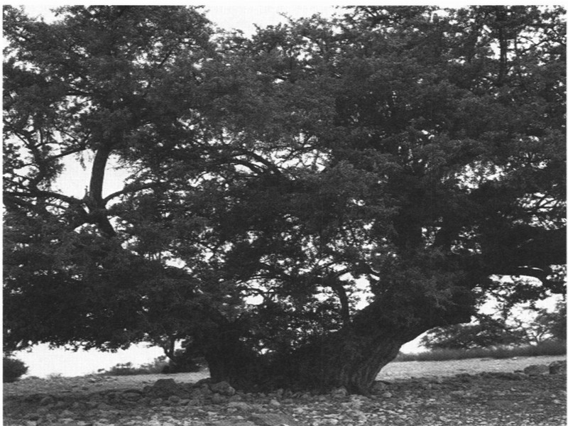
Étages bioclimatiques et végétation : l’empreinte de l’aridité (Anti-Atlas) pour J. Riser
Étages bioclimatiques et végétation : l’empreinte de l’aridité (Anti-Atlas) pour J. Riser Les étages bioclimatiques de l’Anti-Atlas se classent en fonction de l’éloign
Savoir plus...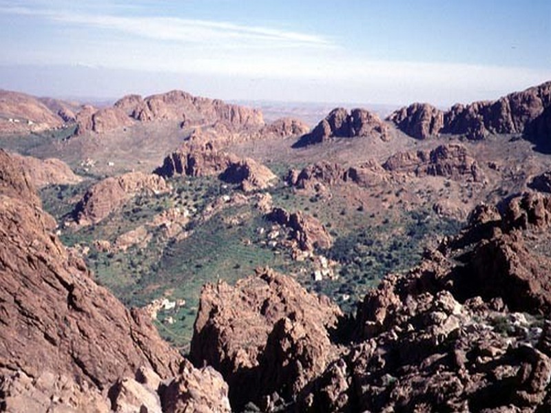
BIOCLIMATS et MILIEU PHYSIQUE (jbel Lkest )
BIOCLIMATS et MILIEU PHYSIQUE (jbel Lkest ) Caractéristique bioclimatique : - Inframéditeraranéen aride semi-aride tempéré au piémont - Thermoméditeranéen semi-aride. -
Savoir plus...
Etude : la taille des Marocains en stagnation depuis 1976
Etude : la taille des Marocains en stagnation depuis 1976 Une étude sur l’évolution de la taille des adultes durant le XXe siècle a vu le jour. Publiée lundi 25 juillet par la revue scientifique &laq
Savoir plus...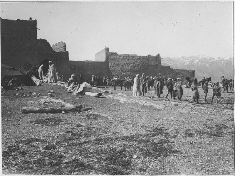
Perspectives : valorisation du patrimoine du Pays de Talssint pour Professeur Mohamed BEnBRAHIM
Perspectives : valorisation du patrimoine du Pays de Talssint pour Professeur Mohamed BEnBRAHIM Professeur Mohamed BEnBRAHIM Ancien doyen, Université Mohammed Premier d’Oujda Pratiques communautaires identitaires e
Savoir plus...
Association Marocaine pour le Développement de Géoparc Jbel Bani (AMDGJB)
Association Marocaine pour le Développement de Géoparc Jbel Bani (AMDGJB) L'AMDGJB Association Marocaine pour le Développement de Jbel Bani, en tant qu'Association Marocaine autorisation 1954-36 &
Savoir plus...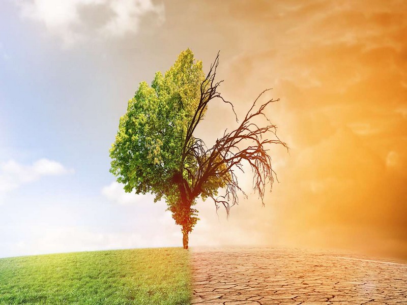
Les conséquences du réchauffement climatique
Les conséquences du réchauffement climatique Les experts prévoient que le changement climatique en cours résultant des activités humaines aura quelques conséquences que l'on peut qualifie
Savoir plus...
Circuits Fascination Anti-Atlas
Pour simple Berline : Tiznit ou Taroudant - Tafraout - Igherm - Tata - Akka - Assa - Guelmim - Agadir Avec 4x4 : Plage Blanche - Oued Draa - El Ouatia - Tan Tan - Asrir. HISTOIRE ET CULTURE On sait aujourd’hui que la pl
Savoir plus...
Microsoft annonce un Windows 10 gratuit et les lunettes HoloLens
Microsoft annonce un Windows 10 gratuit et les lunettes HoloLens Microsoft a tenu une nouvelle conférence dédiée à Windows 10 et annoncé que le nouvel OS sera proposé en mise à jour gr
Savoir plus...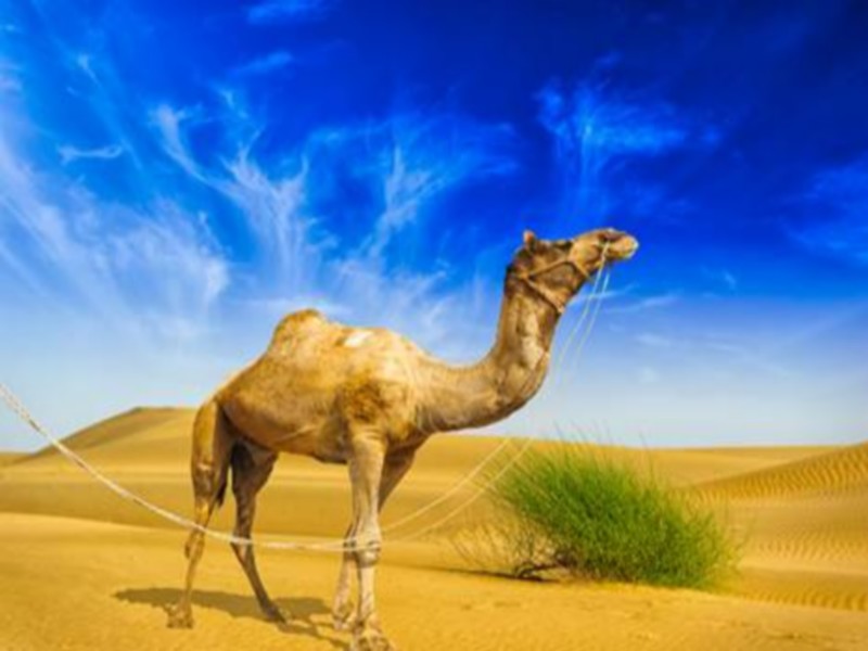
Le dromadaire
Egalement appelé « Chameau d’Arabie », le dromadaire fait figure de véritable icône au sein des mammifères vivants dans le désert du Sahara. S’il fut longtemps indispensable &agr
Savoir plus...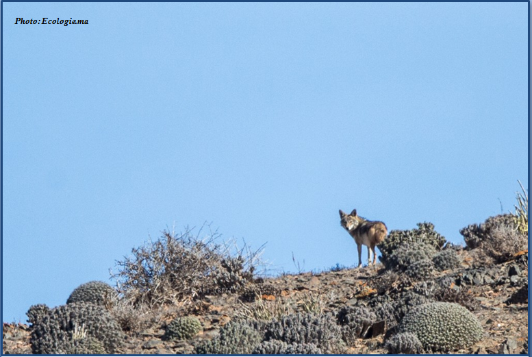
Photos: Trois jeunes canis dans l’Anti Atlas
Photos: Trois jeunes canis dans l’Anti Atlas Ali Irizi a encore frappé. Cette fois il s’agit de trois louveteaux quelque part dans l’anti Atlas. Cette fois encore la photo ne manque pas de susciter questions et &
Savoir plus...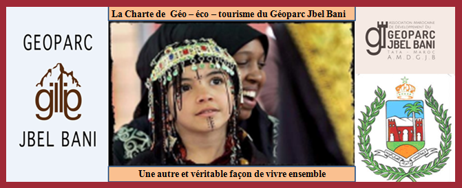
CHARTE DE GEOTOURISME
CHARTE DE GEOTOURISME Province de Tata Géoparc du Jbel Bani « Lettre d’intention » &
Savoir plus...Les tags en relation
En savoir plus sur " Géologie et TSGJB - AMDGJB ! "
Consulter les vidéos de " Géologie et TSGJB - AMDGJB ! " Consulter les photos de " Géologie et TSGJB - AMDGJB ! " Consulter les publications de " Géologie et TSGJB - AMDGJB ! " Consulter les éditions de " Géologie et TSGJB - AMDGJB ! " Consulter les communications de " Géologie et TSGJB - AMDGJB ! "Recherche du site
Recherche avancée / SpécifiqueVulgarisation à la géologie
Qu'est ce que les sciences de la terre: vulgarisation Qu'est ce que la géologie ? Géologie et TSGJB - AMDGJB !
Géoparc et Recherche Scientifique
Le coins de l’étudiant


Blog Géoparc Jbel Bani
Dictionnaire scientifique
Plus de 123.000 mots scientifiques
Les publications
Géo parc Jbel Bani

Circuits & excursions touristiques

cartothéques


Photothéques
Publications & éditions

