


CENTRAL ANTI-ATLAS TRAVERSE: the northern border of the West African Craton
By DR. M. OUKASSOU, DR. H. EL HADI, DR. F. HAISSEN, DR. N. SABER
ITINERARY and OBJECTIVES
The south of Morocco is one of the most attractive touristic areas with diversified landscapes from snowy mountains to desert plains. The High Atlas with his 3000 to 4000 meters forms a major climatic barrier to the Atlantic perturbations, which account for the arid climate of the Anti Atlas sub Saharan domain south of the chain. These regions are occupied by berbere speaking populations with long hospitality tradition.
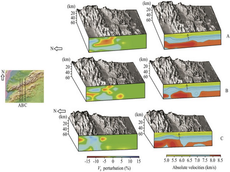
The two day trips follow most touristic roads and visit outstanding outcrops illustrating a central transect across the Anti-Atlas belt (figures G1 & G2), which corresponds to the external fold belt of the Hercynian (Variscan, Alleghanian) chain, but it also includes large Pan African inliers. The High Atlas formed during the Cenozoic at the expense of an aborted Triassic Jurassic rift. Therefore, three superimposed Wilsonian cycles can be illustrated during the trips. The itinerary will make possible to illustrate the complex geological history of these areas from 2 Ga to present day. Our purpose is to present and discuss various regional and thematic (sediment logical, structural, magmatic and
metamorphic) features, which record the main geodynamical events during this long geological history. Magnificent minerals (erhytrite, vanadinite...) and fossils (trilobites, goniatites...) can be purchased at many places.
During this field trip, the AgdzBou Azzer Tazenakht Agdzloop (figureG3)allows the participants to discover the PanAfrican belt (external platform domain in the Zenaga inlier, ophiolitic suture zone at Bou Azzer), the early volcano clastic cover sequence (late Neoproterozoic), and the mildly folded Early Paleozoic sediments (Cambrian and Ordovician).
Detailed road log for the trip are provided below along with Global Positioning Satellite (GPS) location at each stop. Note that all the stops are on public roads, and that the use of hammers and the collection of rocks are permitted.


Source web: DR. M. OUKASSOU, DR. H. EL HADI, DR. F. HAISSEN, DR. N. SABER sociedadgeologica.es
Les articles en relation
FAO: Pourquoi le cactus devrait être une "culture essentielle" au Maroc
FAO: Pourquoi le cactus devrait être une "culture essentielle" au Maroc Durant les périodes de sécheresse ou dans les zones arides, le cactus et la figue de Barbarie devraient constituer un atout pr&eacu
Savoir plus...
Qu'est ce qu'une météorite ?
De premiers abords cela ressemble souvent à un simple morceau de roche, mais il s’agit de matière extraterrestre âgée de 4,5 milliards d’années. Les météorites proviennent d
Savoir plus...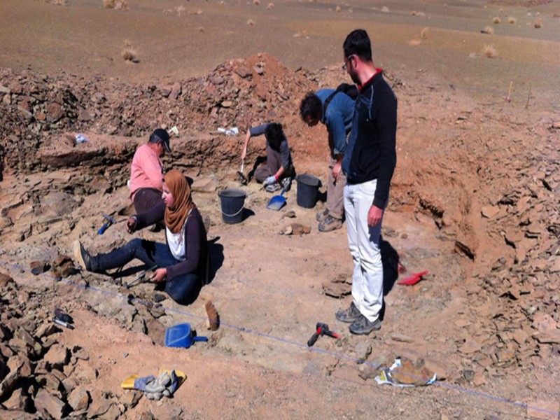
Paléontologie : De nouvelles trouvailles à Fezouata.
Paléontologie : De nouvelles trouvailles à Fezouata. Les formations géologiques de Fezouata, situées au nord de Zagora, ont révélé de nouveaux trésors archéologiques. Le
Savoir plus...
4 planètes géantes découvertes autour d’une jeune étoile surprennent les astronomes
4 planètes géantes découvertes autour d’une jeune étoile surprennent les astronomes Quatre planètes géantes qui orbitent autour d'une étoile. Surprenant ? Oui, compte tenu de
Savoir plus...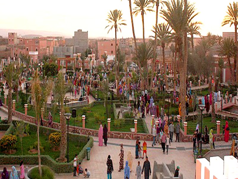
Développement : Les atouts touristiques de Guelmim présentés à Top Resa (Géoparc Jbel Bani)
Développement : Les atouts touristiques de Guelmim présentés à Top Resa (Géoparc Jbel Bani) Le Conseil régional du tourisme de la région de Guelmim-Oued Noun sera présent &agrav
Savoir plus...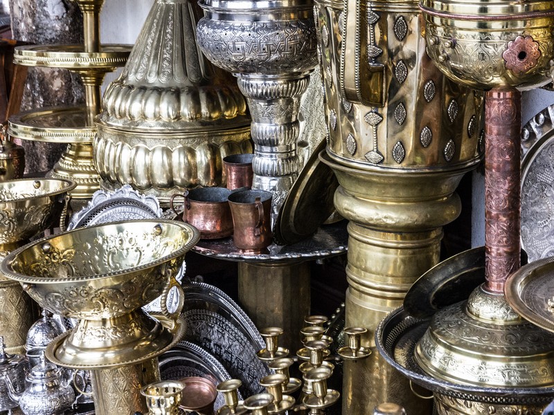
Artisanat et traditions berbères
Artisanat et traditions berbères Une autre Marrakech Taroudant est un des bijoux du Sud-Maroc, ses remparts, un écrin qui enveloppent une des plus belles villes du pays. Leurs murs crénelés s'&eacut
Savoir plus...
Les mille et un atouts des plantes aromatiques et médicinales
Les mille et un atouts des plantes aromatiques et médicinales Améliorer la qualité pour servir au mieux l’économie sociale Plus de mille coopératives opérant dans le domaine des pl
Savoir plus...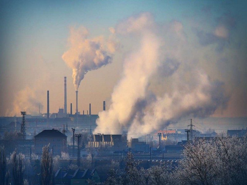
Gaz à effet de serre : CO2 ou méthane, quel est le pire ?
Gaz à effet de serre : CO2 ou méthane, quel est le pire ? Le dioxyde de carbone et le méthane sont parmi les gaz à effet de serre les plus connus. L'augmentation de leur émission dans l'atmo
Savoir plus...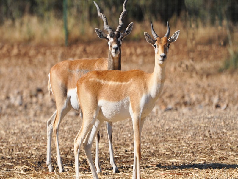
Les 5 antilopes du Maroc
Les Antilopes constituent un groupe de Mammifères Ruminants, rangés parmi les Bovidés. Les antilopes descendent de l’Eotragus, apparu au Miocène, il y a 15 à 17 millions d’an
Savoir plus...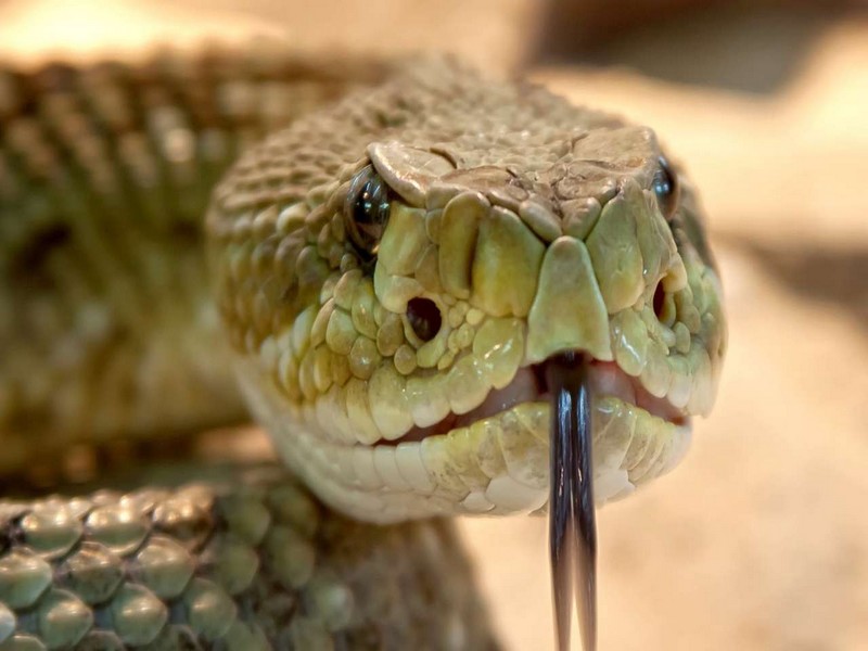
Herpétologie
Herpétologie Le terme herpétologie est hérité du grec ancien herpeton qui signifie « qui rampe ». Ainsi l'herpétologie est le domaine de la biologie qui étudie les reptiles et
Savoir plus...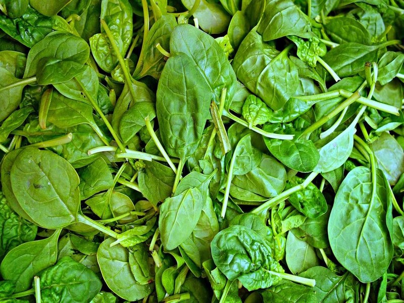
Les épinards rendent-ils vraiment plus costaud ?
Les épinards rendent-ils vraiment plus costaud ? « Mange tes épinards, si tu veux devenir fort ! » Enfant, nous avons tous entendu cette recommandation. Mais notre maman savait-elle r&ea
Savoir plus...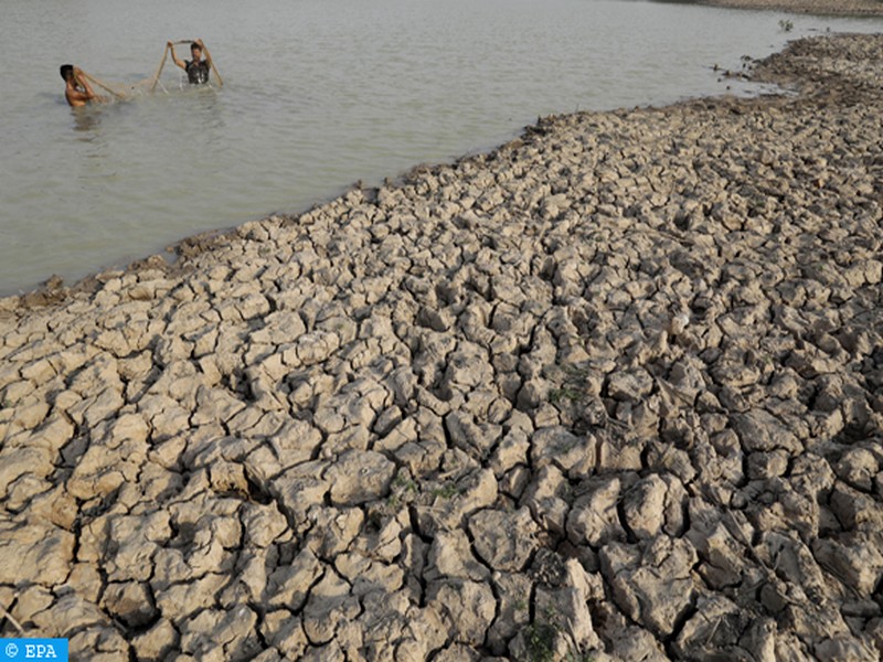
Résilience économique du Pérou face à El Niño : une leçon de gestion climatique inspirée du Territoire soutenable du Géoparc Jbel Bani
Résilience économique du Pérou face à El Niño : une leçon de gestion climatique inspirée du Territoire soutenable du Géoparc Jbel Bani Le phénomène climatique El N
Savoir plus...Les tags en relation
En savoir plus sur " Géologie et TSGJB - AMDGJB ! "
Consulter les vidéos de " Géologie et TSGJB - AMDGJB ! " Consulter les photos de " Géologie et TSGJB - AMDGJB ! " Consulter les publications de " Géologie et TSGJB - AMDGJB ! " Consulter les éditions de " Géologie et TSGJB - AMDGJB ! " Consulter les communications de " Géologie et TSGJB - AMDGJB ! "Recherche du site
Recherche avancée / SpécifiqueVulgarisation à la géologie
Qu'est ce que les sciences de la terre: vulgarisation Qu'est ce que la géologie ? Géologie et TSGJB - AMDGJB !
Géoparc et Recherche Scientifique
Le coins de l’étudiant


Blog Géoparc Jbel Bani
Dictionnaire scientifique
Plus de 123.000 mots scientifiques
Les publications
Géo parc Jbel Bani

Circuits & excursions touristiques

cartothéques


Photothéques
Publications & éditions

