

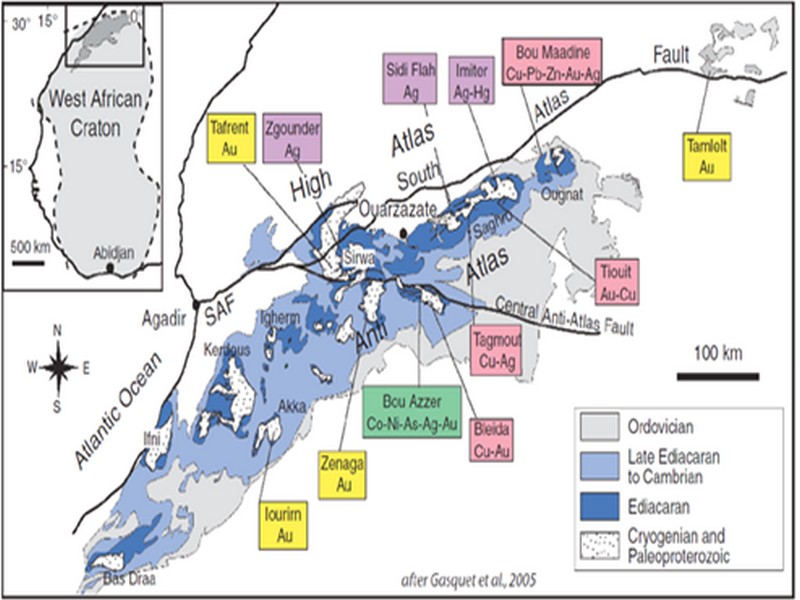

ORE DEPOSITS IN THE ANTI-ATLAS AND SUB-ATLAS REGIONS
The Anti-Atlas geological province is the host of a variety of ore deposits, ranging from Paléoprotérozoïque to Ordovician in age. These deposits are mainly Cu-Au porphyry types, precious metal epithermal (Au, Ag) or polymetallic VMS base metals (Cu, Pb, Zn, Au, and Ag), while the sub- Atlas region presents an important occurrence of manganese. Figure 8 shows the location of the most important deposits in the Anti-Atlas region.
Located in eastern Anti-Atlas, the world class Imiter Ag-Hg mine (8.5 Mt at 700g/t Ag), is among the most important deposits in Morocco. It is considered to be of epithermal origin. The silver mineralisation happened during regional extension (+/- transpession?) tectonic regime event around 550 and is hosted in a series of volcanic felsic rocks Ma (Tuduri et al, 2006). Briefly, a three-stage model has been proposed to explain the deposit: a first episode characterized by the development of quartz, pink dolomite, and Ag-rich minerals veins formed during a dextral transpressive event, followed by a barren stage associated with a normal left-lateral motion that re-opened previous structures, and a final alteration stage (i.e. supergene enrichment) that contributed to local enrichment in Ag deposit (Tuduri et al, 2006).
Regarding copper, Bleida was the most important Cu deposit of northern Africa until late 90’s. Located on the northern edge of the West African Craton, the Bleida orebodies are located on an inactive continental margin along with preserved ophiolites of Upper Proterozoic age. The copper deposits (chalcopyrite, bornite, pyrite) are stratiform distal massive sulfide bodies whose position is controlled by both the sedimentation of shales and an acid volcanism, which follows a more important basic volcanism. Pan-African deformation (650-600 Ma) has determined the current geometry of the cupriferous lenses although it has not remobilized the sulfides out of their original carrier beds (Leblanc and Billaud, 2006). West of the main Moroccan Bleida copper deposit, gold mineralization has also been discovered (West Bleida, ca. 3 tonnes metal Au). It is hosted by metamorphosed and deformed mafic to intermediate volcanic rocks that are part of the Neoproterozoic tholeiitic volcano-sedimentary series forming the stratigraphically upper part of the Bou Azzer ophiolite sequence. Gold mineralization primarily occurs
as deformed gold-bearing quartz veins and disseminations in Cu-rich chert zones (chalcopyrite– malachite), Fe-rich lithofacies and breccia zones. Gold is accompanied by small amounts of copper sulphides (<1% modal chalcopyrite).
Another important occurrence (not displayed in the map, Fig. 8) is the Imini Manganese deposit, the most important Mn deposit of Morocco, located in the western margin of the Ouarzazate foreland basin (Sub-Atlas). The manganese ore is made of pyrolusite (MnO2), and is hosted in different horizons of dolomites from the lower Cretaceous, and another accessory layer. This layers thickness can reach up to 1 meter. The deposit scale is 25 km per 100-400 m width, and sits above slates and crystalline rocks. Dolomitic sandstone and/or conglomerate are present between each mineralized horizon. Isabel von Steinaecker; source: http://www.geo.tu-freiberg.de/oberseminar/os03_04/Isabel_Steinaecker.pdf).

Figure 8: The Anti-Atlas belt at the northern limit of the West African Craton. Redrawn after Dallmeyer and Lecorché (1991) and a geological sketch map of the Anti-Atlas belt in southern Morocco and location of main ore deposits. SAF: South Atlas Fault. Gasquet and al. (2005)
Source web par unige.ch
Les articles en relation
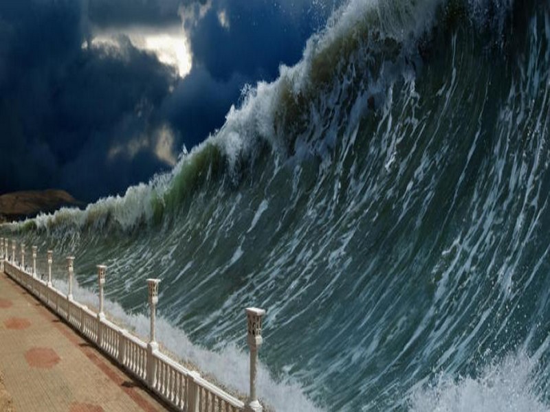
Ce risque de tsunami dévastateur en Méditerranée
Ce risque de tsunami dévastateur en Méditerranée Les côtes méditerranéennes pourraient-elle être balayées par un tsunami ? D'après certains chercheurs, le danger est bi
Savoir plus...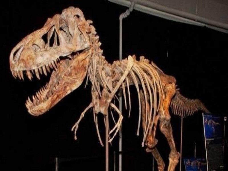
Des trésors archéologiques marocains pillés
Des trésors archéologiques marocains pillés Kiosque360. La mafia des trésors archéologiques est un engrenage bien huilé qui n'agit pas de manière fortuite. Des scientifiques seraie
Savoir plus...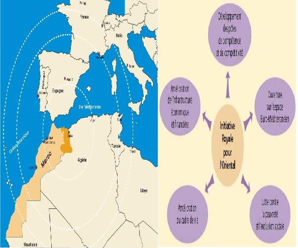
l’Initiative Royale pour le Développement de l’Oriental ou la dynamisation des patrimoines humains, culturels et naturels de la Région pour Taoufiq BOUDCHICHE
l’Initiative Royale pour le Développement de l’Oriental ou la dynamisation des patrimoines humains, culturels et naturels de la Région pour Taoufiq BOUDCHICHE Monsieur Taoufiq BOUDCHICHE &nb
Savoir plus...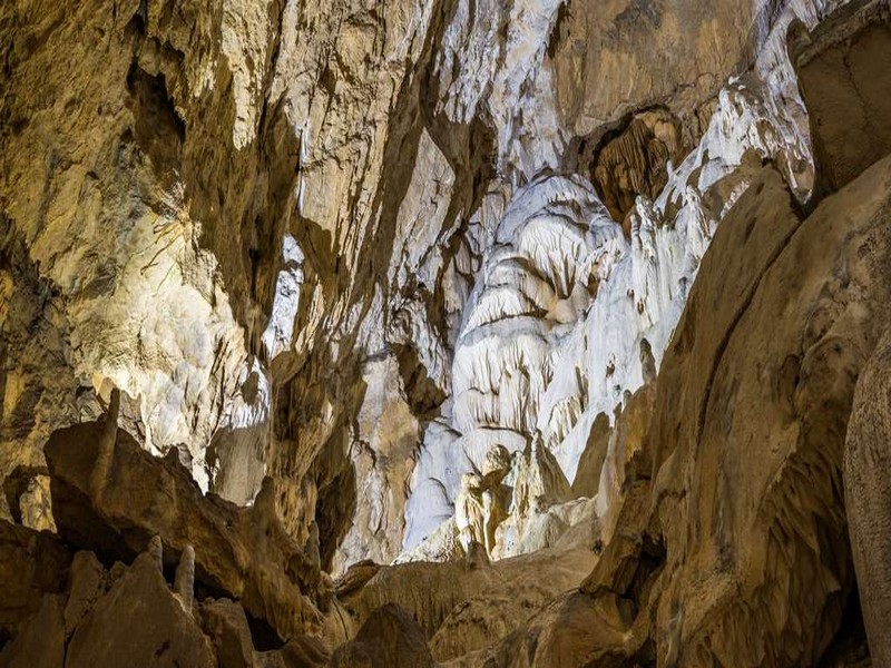
Spéléologie
Spéléologie La spéléologie est l'activité consistant à explorer, étudier, cartographier ou visiter des cavités souterraines. Ce terme désigne à la fois la prat
Savoir plus...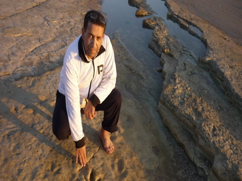
Découverte. Sur les traces des dinosaures d’Anza Beach, près d'Agadir
Des empreintes de dinosaures carnivores et de reptiles volants, vieux de 85 millions d'années, ont été retrouvés sur la plage d'Anza près d'Agadir. Les détails. C’est offici
Savoir plus...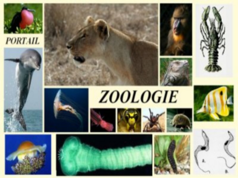
La zoologie
Que signifie zoologie ? La zoologie est une branche de la biologie, une science qui concerne l'étude du règne animal, à la fois vivant et éteint (en paléozoologie), dont le spécialiste es
Savoir plus...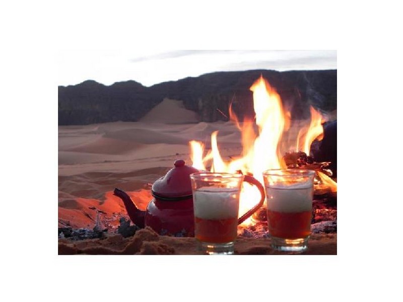
Le Thé du désert
Le Thé du désert Dans le désert, le rituel du thé est une tradition, un art, une philosophie ! Il ne souffre pas la précipitation, chaque geste doit venir en son temps … Boisson universell
Savoir plus...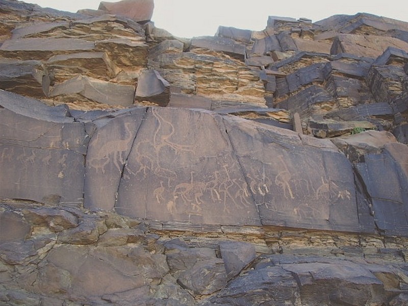
Bouafen et Oued Tamzarar
L'oued Tamzarar Sur la piste d’Akka à la route d’Icht, dans l’oued Tamzarar, sur la falaises rive gauche, la majorité des gravures est située sur des parois verticales à partir d&rsqu
Savoir plus...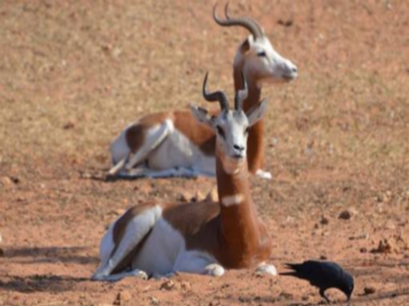
Dakhla: La réintroduction d’antilopes en bonne voie
Dakhla: La réintroduction d’antilopes en bonne voie Le projet de réintroduction d’antilopes à la station d’acclimatation de Safia (au sud de Dakhla) donne ses fruits, et affiche aujourd’hu
Savoir plus...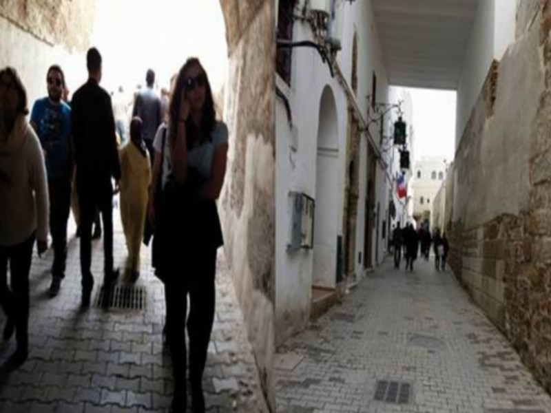
Tanger : Le patrimoine historique et naturel en péril
Tanger : Le patrimoine historique et naturel en péril L’état de la plupart des monuments et sites archéologiques de la ville est déplorable La société civile à Tanger tire la
Savoir plus...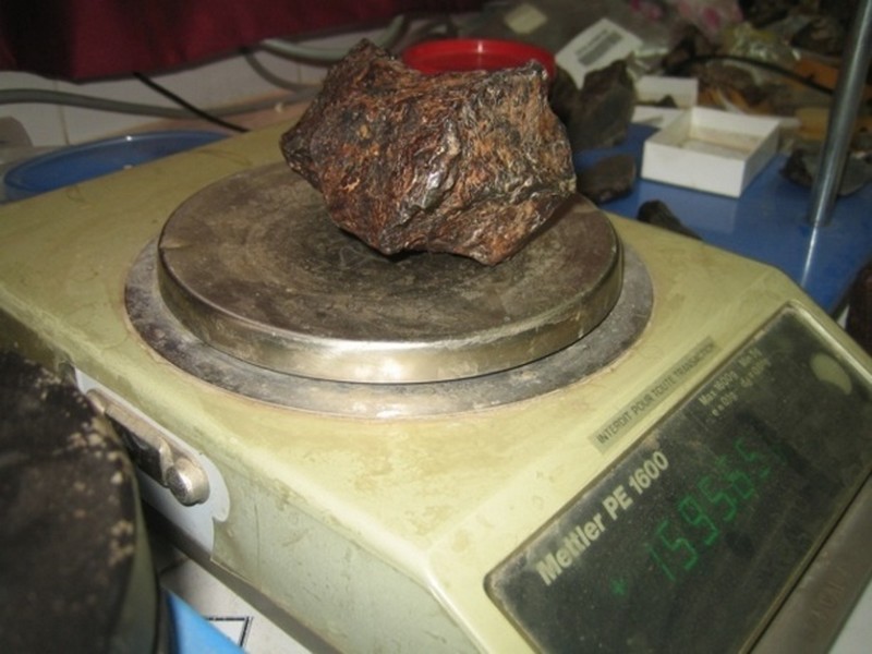
Laboratoire de géo-patrimoine et géo-matériaux de l’Université Ibn Zohr : Les premiers secrets de la météorite martienne «Tissint» révélés
Laboratoire de géo-patrimoine et géo-matériaux de l’Université Ibn Zohr : Les premiers secrets de la météorite martienne «Tissint» révélés Enfin la m&ea
Savoir plus...Les tags en relation
En savoir plus sur " Géologie et TSGJB - AMDGJB ! "
Consulter les vidéos de " Géologie et TSGJB - AMDGJB ! " Consulter les photos de " Géologie et TSGJB - AMDGJB ! " Consulter les publications de " Géologie et TSGJB - AMDGJB ! " Consulter les éditions de " Géologie et TSGJB - AMDGJB ! " Consulter les communications de " Géologie et TSGJB - AMDGJB ! "Recherche du site
Recherche avancée / SpécifiqueVulgarisation à la géologie
Qu'est ce que les sciences de la terre: vulgarisation Qu'est ce que la géologie ? Géologie et TSGJB - AMDGJB !
Géoparc et Recherche Scientifique
Le coins de l’étudiant


Blog Géoparc Jbel Bani
Dictionnaire scientifique
Plus de 123.000 mots scientifiques
Les publications
Géo parc Jbel Bani

Circuits & excursions touristiques

cartothéques


Photothéques
Publications & éditions

