

A plate tectonic evolution of the Anti-Atlas on a global scale
DR.Hervé Rezeau, DR.Cyril Chelle-Michou & DR.Michael Calder
SEG Student Chapter of Geneva (Switzerland)
SEG Student Chapter of Montpellier (France)
In the western Maghreb, the Variscan (Hercynian) belt extends into the Meseta and Atlas do- mains, being widely exposed in the large Paleozoic massifs of the Moroccan Western Meseta and West- ern High Atlas, whereas it forms smaller massifs in the Eastern Meseta, Middle Atlas and Central- Eastern High Atlas (Fig.1). Altogether, these massifs define the Meseta Domain, whose late Paleozoic evolution was accompanied by significant metamorphism and magmatic intrusions. This domain is also referred to as the Meseta Block (although it was not a single block until the end of the Variscan Orogeny) and corresponds to the southwesternmost segment of the Variscan belt of Europe. The Anti-Atlas belt extends south of the Meseta Domain and can be regarded as the common foreland fold belt of both the Mesetan Variscides and northernmost Mauritanides. The Anti-Atlas belt connects to the east with the coeval, intracontinental Ougarta belt that extends essentially into the Algerian territory (Fig.1).

Figure 1: Landsat image of Morocco (from Michard et al. 2008)
The tectonic evolution of the Anti-Atlas basin and fold belt in relation to plate tectonics on aglobal scale is illustrated in Fig. 2, and summarized below (Burkhard et al., 2006):
(1)During the Panafrican orogeny, a series of terranes are accreted to the West African craton on its northern and probably western side. While the northeastern suture (Bou Azzer) and terranes to the northeast will remain in place, northwestern and western borders are subsequently reactivated and a series of terranes or continental fragments will be ripped off again during the Palaeozoic. The southwestern Anti-Atlas, however, at the margin of the Saharan metacraton remains attached to Gondwana throughout its Palaeozoic history.
(2)In Late Proterozoic–Early Cambrian, the Anti-Atlas area is in extension with the formation of many widely distributed graben and halfgraben structures, filled in with coarse clasts mostly of igneous origin. The youngest volcanism is tholeiitic–alkaline and indicates an intracontinental setting. The geodynamic significance of this extensional event is not entirely clear, however. It could be related to a southeast dipping, major and longlived subduction zone on the northwestern margin of Gondwana, causing a wide area of extension cratonward in a basin and range style.
(3)From Middle Cambrian through Middle Carboniferous, the western Anti-Atlas basin is characterized by a strong and essentially linear subsidence trend, leading to the accumulation of more than 10 km of mostly fine-grained clastic sediments, shed into an epicontinental sea from the African craton. There is little evidence in this stratigraphic record for tectonic events postulated to have taken place along the active northwestern plate margin of Gondwana. The departure of Avalon, Armorica and Hunic terranes from this margin in successive events of back-arc spreading must have brought the Anti-Atlas Sea increasingly closer to the open ocean(s) (Rheic and Palaeo-Tethys). From Silurian times onward, the Anti-Atlas Basin could thus represent the passive margin of the Palaeo-Tethys ocean, but very little if any sediments of the more distal parts of this passive margin are preserved anywhere (with the possible exception of terrains west of Guelmin and near Tineghir).
(4)In Late Carboniferous–Permian (?) compression leads to an event of strong inversion and folding. Basement is uplifted and folded into huge antiformal culminations (boutonnières) which punctuate the southwestern Anti-Atlas fold belt. The structural relief of the basement culminations is in excess of 10 km; minimum estimates of total shortening are 15 to 25 km. The Anti-Atlas belt does not represent a classical frontal, thin-skinned foreland fold-and-thrust-belt of the Appalachian–Variscan orogen, however, but rather an intracratonic, thick-skinned basement inversion belt. Similar time-equivalent belts occur further east into the African craton (Ougarta, Ahnet), but no such structures are known on the American side of the Appalachian chain.

Figure. 2: Evolution of the Variscan segments of Morocco during the Paleozoic, after Burkhard et al. (2006), based on the paleogeographic maps of Stampfli & Borel (2002). The figure is modified according to G. Stampfli, personal comm., in litt. 2008. The Meseta block is considered as separated from Gondwana (Anti-Atlas) by a Devonian Ocean (“Paleo-Tethys”). Aval, Av: Avalonian terranes; Meg: Meguma; WA/NAC: West African/North American Craton. From Michard et al. (2008).
Source web: DR.Hervé Rezeau, DR.Cyril Chelle-Michou & DR.Michael Calder unige.ch
Les articles en relation

Vie sexuelle des mantes religieuses : elle le décapite puis se reproduit avec !
Vie sexuelle des mantes religieuses : elle le décapite puis se reproduit avec ! La mante religieuse est connue pour sa tendance à dévorer ses partenaires sexuels. Mais saviez-vous que, même décapit&e
Savoir plus...
Quels sont les bienfaits du romarin ?
Quels sont les bienfaits du romarin ? « Rosée des mers », « herbe aux couronnes », « bouquet de la Vierge »... Toutes ces appellations désignent une seule et même plante : le ro
Savoir plus...
Drâa-Tafilalet : des pluies bienfaitrices redonnent espoir après des années de sécheresse
Drâa-Tafilalet : des pluies bienfaitrices redonnent espoir après des années de sécheresse Errachidia – Après plusieurs années marquées par des périodes de sécheress
Savoir plus...
Disparition des dinosaures : quand les mammifères sortent au grand jour
Disparition des dinosaures : quand les mammifères sortent au grand jour Nos lointains ancêtres mammifères appréciaient la vie nocturne. Puis, certains d'entre eux au moins se sont aventurés dans
Savoir plus...
FDLS : les bébés animaux les plus craquants en diaporama
FDLS : les bébés animaux les plus craquants en diaporama La science, c'est aussi la vie. Et quoi de plus représentatif de la vie que ses débuts ? Futura vous propose une pause tendresse dans le parcour
Savoir plus...
Circuits a la decouverte de la région Guelmim-géoparc jbel bani
Circuits a la decouverte de la région Guelmim-géoparc jbel bani Pour simple Berline : Excursions au départ de GUELMIM : Abaynou / Plage Blanche / Asrir-Tighmert / Tan Tan Avec 4x4 : Plage Blanc
Savoir plus...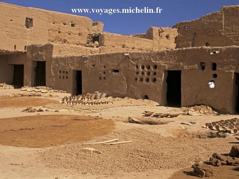
Kasbahs et ksour du sud-est marocain: TAMGROUT (Géoparc jbel bani)
Kasbahs et ksour du sud-est marocain: TAMGROUT (Géoparc jbel bani) Ce ksar est situé à 25 Km de Zagora en direction de M'Hamid. Il est construit sur un plateau pratiquement désertique et comprend 200 h
Savoir plus...
4 planètes géantes découvertes autour d’une jeune étoile surprennent les astronomes
4 planètes géantes découvertes autour d’une jeune étoile surprennent les astronomes Quatre planètes géantes qui orbitent autour d'une étoile. Surprenant ? Oui, compte tenu de
Savoir plus...
STRUCTURAL EVOLUTION OF THE ANTI-ATLAS DOMAIN :AN OVERVIEW pour Yves Missenard
STRUCTURAL EVOLUTION OF THE ANTI-ATLAS DOMAIN :AN OVERVIEW pour Yves Missenard The Anti-Atlas represents the most important segments of the major Pan-African (≈0.5Ga) belt system&
Savoir plus...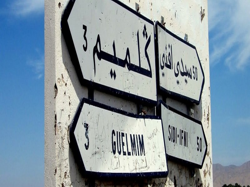
Guelmim (Géoparc Jbel Bani)
Guelmim (Géoparc Jbel Bani) Guelmim, la porte du Sahara Située sur l’oued Noun, à 130 km au nord de Tan-Tan et 56 km au sud de Sidi Ifni, Guelmim qui était autrefois une étape incontournabl
Savoir plus...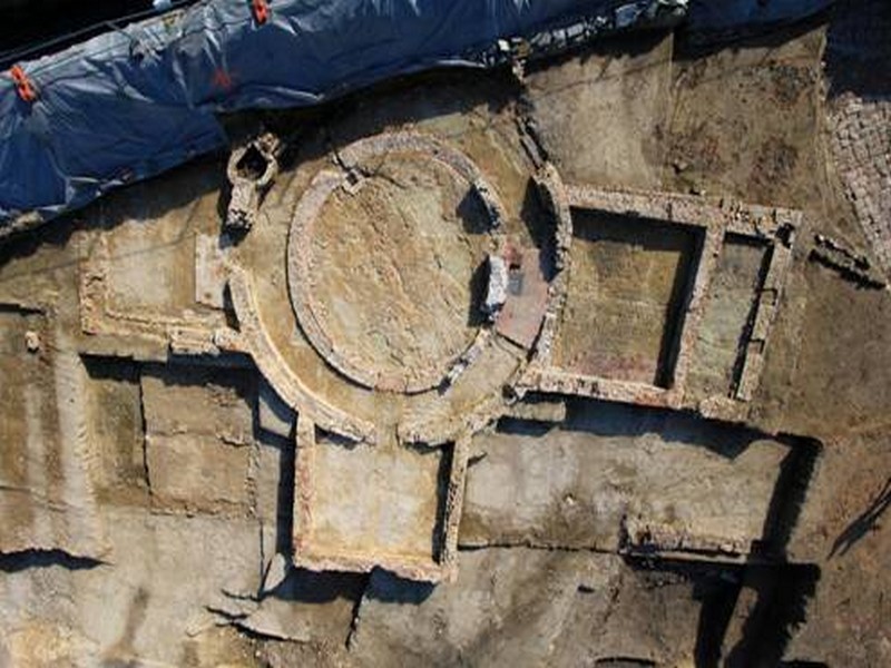
Recherches archéologiques sur les origines de la ville de Rirha /Gilda
Recherches archéologiques sur les origines de la ville de Rirha /Gilda 1. Intérêt scientifique : Le programme de recherches sur Rirha men&
Savoir plus...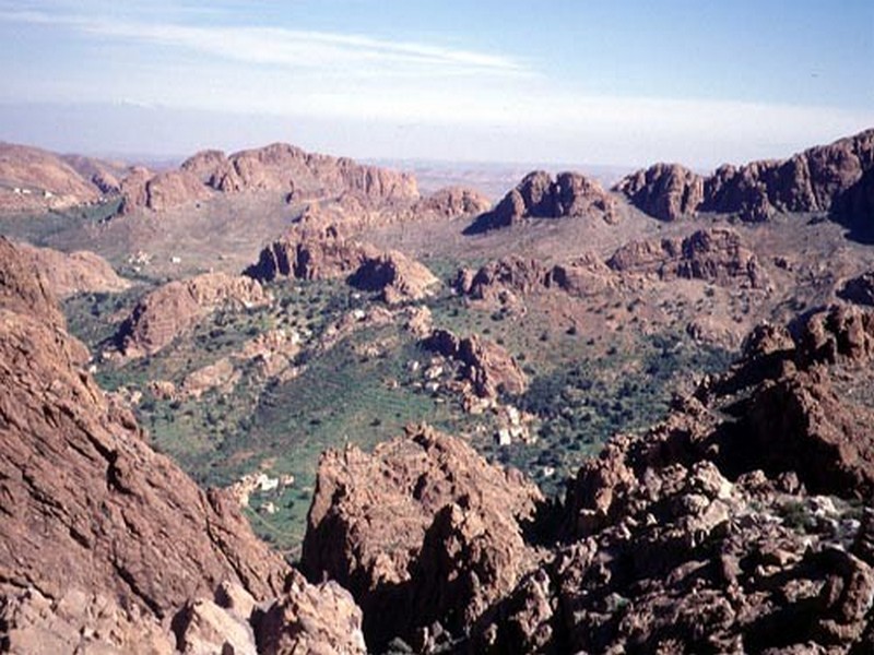
BIOCLIMATS et MILIEU PHYSIQUE (jbel Lkest )
BIOCLIMATS et MILIEU PHYSIQUE (jbel Lkest ) Caractéristique bioclimatique : - Inframéditeraranéen aride semi-aride tempéré au piémont - Thermoméditeranéen semi-aride. -
Savoir plus...Les tags en relation
En savoir plus sur " Géologie et TSGJB - AMDGJB "
Consulter les vidéos de " Géologie et TSGJB - AMDGJB " Consulter les photos de " Géologie et TSGJB - AMDGJB " Consulter les publications de " Géologie et TSGJB - AMDGJB " Consulter les éditions de " Géologie et TSGJB - AMDGJB " Consulter les communications de " Géologie et TSGJB - AMDGJB "Recherche du site
Recherche avancée / Spécifique
Géoparc et Recherche Scientifique
Le coins de l’étudiant


Blog Géoparc Jbel Bani
Dictionnaire scientifique
Plus de 123.000 mots scientifiques
Les publications
Géo parc Jbel Bani

Circuits & excursions touristiques

cartothéques


Photothéques
Publications & éditions

