


CENTRAL ANTI-ATLAS TRAVERSE: the northern border of the West African Craton
By DR. M. OUKASSOU, DR. H. EL HADI, DR. F. HAISSEN, DR. N. SABER
ITINERARY and OBJECTIVES
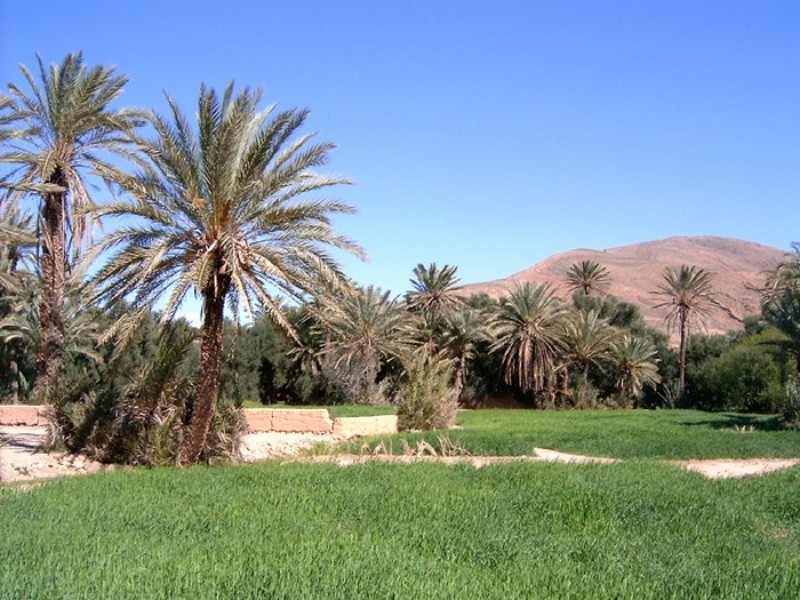
The south of Morocco is one of the most attractive touristic areas with diversified landscapes from snowy mountains to desert plains. The High Atlas with his 3000 to 4000 meters forms a major climatic barrier to the Atlantic perturbations, which account for the arid climate of the Anti Atlas sub Saharan domain south of the chain. These regions are occupied by berbere speaking populations with long hospitality tradition.
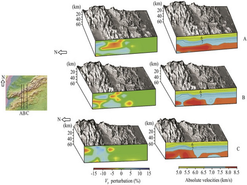
The two day trips follow most touristic roads and visit outstanding outcrops illustrating a central transect across the Anti-Atlas belt (figures G1 & G2), which corresponds to the external fold belt of the Hercynian (Variscan, Alleghanian) chain, but it also includes large Pan African inliers. The High Atlas formed during the Cenozoic at the expense of an aborted Triassic Jurassic rift. Therefore, three superimposed Wilsonian cycles can be illustrated during the trips. The itinerary will make possible to illustrate the complex geological history of these areas from 2 Ga to present day. Our purpose is to present and discuss various regional and thematic (sediment logical, structural, magmatic and
metamorphic) features, which record the main geodynamical events during this long geological history. Magnificent minerals (erhytrite, vanadinite...) and fossils (trilobites, goniatites...) can be purchased at many places.
During this field trip, the AgdzBou Azzer Tazenakht Agdzloop (figureG3)allows the participants to discover the PanAfrican belt (external platform domain in the Zenaga inlier, ophiolitic suture zone at Bou Azzer), the early volcano clastic cover sequence (late Neoproterozoic), and the mildly folded Early Paleozoic sediments (Cambrian and Ordovician).
Detailed road log for the trip are provided below along with Global Positioning Satellite (GPS) location at each stop. Note that all the stops are on public roads, and that the use of hammers and the collection of rocks are permitted.


Source web: DR. M. OUKASSOU, DR. H. EL HADI, DR. F. HAISSEN, DR. N. SABER sociedadgeologica.es
Les articles en relation
Ouarzazate colloque Espace oasien : Pour la préservation du patrimoine matériel et immatériel
Ouarzazate colloque Espace oasien : Pour la préservation du patrimoine matériel et immatériel Un énième colloque autour de l’espace oasien. Va-t-on aboutir à une politique d’inter
Savoir plus...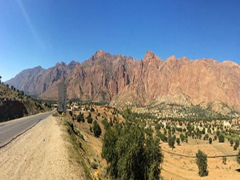
Jebel el Kest: A stunning day in the Moroccan Anti-Atlas
Jebel el Kest: A stunning day in the Moroccan Anti-Atlas The ascent of Jebel el Kest in Morocco’s Anti-Atlas is a stunning day in remote mountains – one of the very best hill days. Cicerone’s Publisher, Jonathan Wil
Savoir plus...
Les sept couches de la terre
Quand les scientifiques ont commencé à explorer les profondeurs de la terre et à fournir les efforts pour connaître les secrets de sa structure et de sa composition, ils ont constaté que les mythes qui
Savoir plus...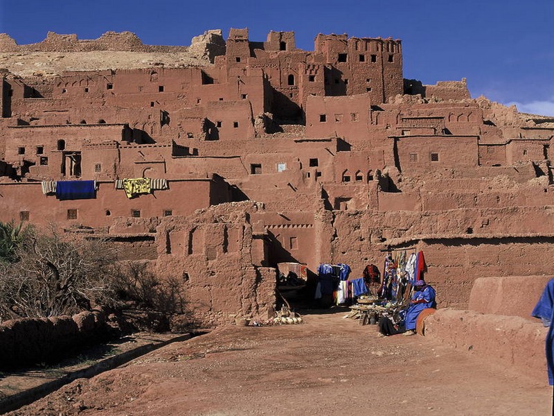
Ksar d'Aït-Ben-Haddou
Ksar d'Aït-Ben-Haddou Ensemble de bâtiments de terre entourés de murailles, le ksar est un type d'habitat traditionnel présaharien. Les maisons se regroupent à l'intérieur de ses mur
Savoir plus...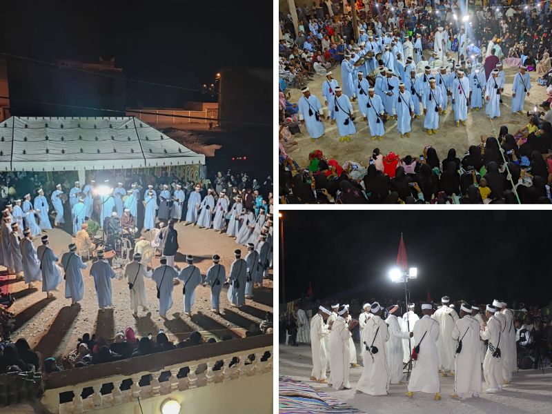
Ahwach, Entre Tradition et Héritage Culturel au Cœur du Géoparc Jbel Bani
Ahwach, Entre Tradition et Héritage Culturel au Cœur du Géoparc Jbel Bani La civilisation amazighe, ancienne et résiliente, laisse des empreintes palpables jusqu'à nos jours, et parmi s
Savoir plus...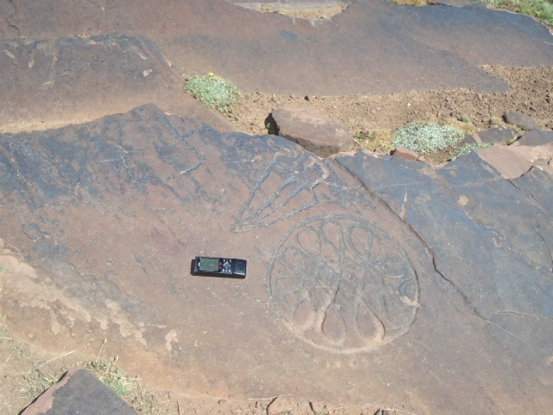
Igountar & Oukaïmeden
Igountar & Oukaïmeden Une partie importante des gravures de l’Oukaïmeden se trouve au centre même de la station au milieu des terrains des chalets; il vous suffit de demander dans les caf&eacut
Savoir plus...
Le destin des hommes (1). Nomadisme, sédentarité, ubiquité
Le destin des hommes (1). Nomadisme, sédentarité, ubiquité La planète Terre a 4 500 millions d’années (4,5 milliards) et l’humanité (les hominidés) environ 7 millions d&rsq
Savoir plus...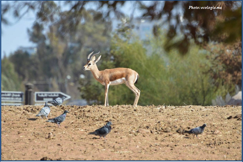
Errachidia: Introduction de 100 gazelles dorcas
Errachidia: Introduction de 100 gazelles dorcas (Source : ecologie.ma) Ce 10 Janvier, Le Haut Commissariat aux Eaux et Forêts et à la Lutte Contre la Désertification (HCEDLCD) a r&
Savoir plus...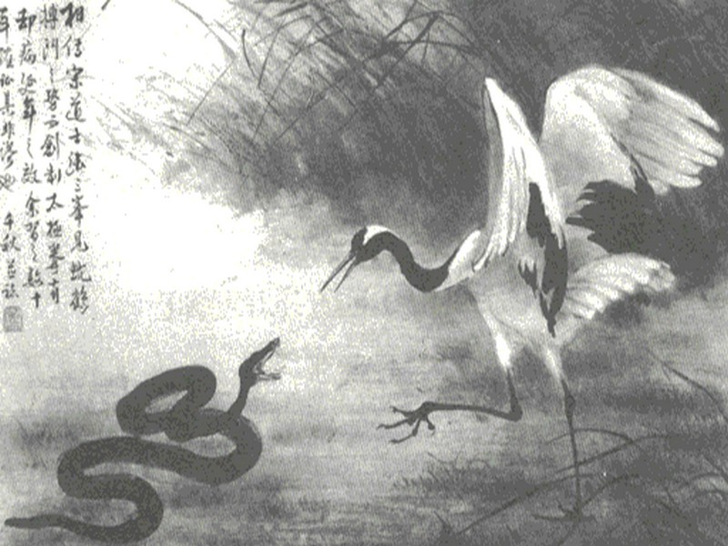
Les 10 serpents les plus dangereux et les plus venimeux de la planète
Les 10 serpents les plus dangereux et les plus venimeux de la planète Lors de vos divers voyages aux 4 coins de la planète, vous pouvez être confrontés à des reptiles forts peu sympathiques. Et voir
Savoir plus...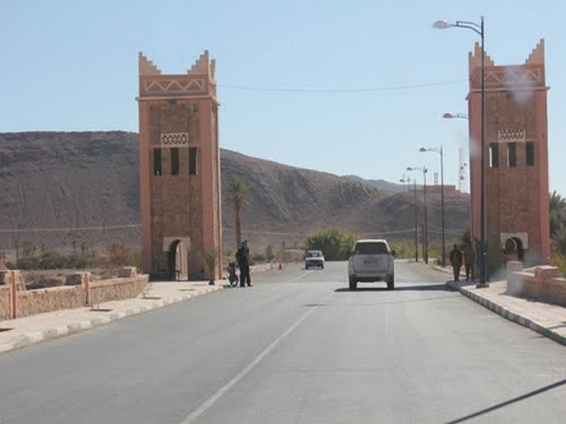
La ville de Tata
La ville de Tata Tata est une ancienne oasis. Selon la légende ce sont les Almoravides au XIe siècle qui décidèrent d'implanter une palmeraie à Tata comme celle de Marrakech. Aprés, le su
Savoir plus...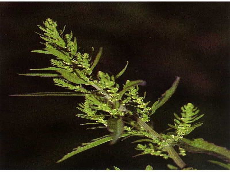
M’khinza, une plante toxique?
M’khinza, une plante toxique? Le Centre antipoison et de pharmacovigilance du Maroc (CAPM) met en garde les citoyens contre l’utilisation de M’khinza ou ansérine vermifuge. Le centre avait émis une ale
Savoir plus...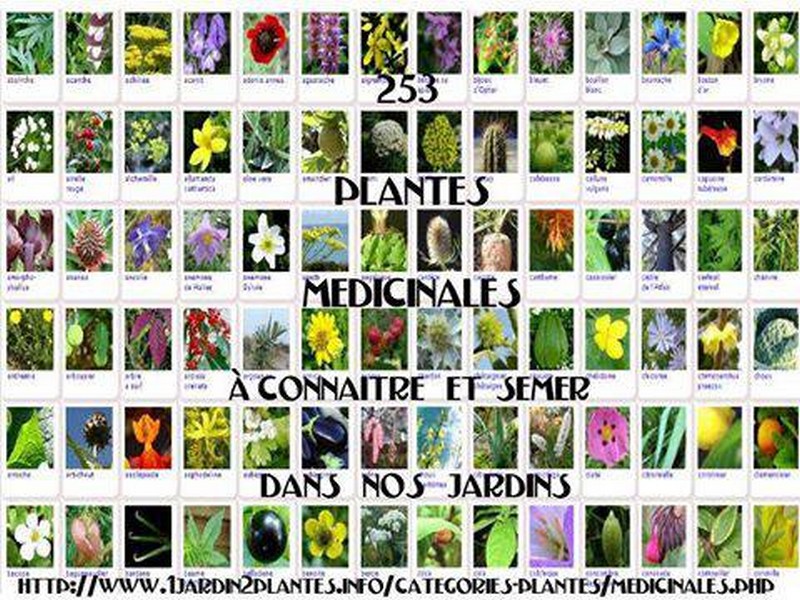
VOICI UNE LISTE DE PLANTES MÉDICINALES La sauge est neurotoxique, à fortement déconseiller aux enfants, femmes enceintes ou allaitantes, et épileptiques.
Liste de plantes, épices et condiments ayant des vertus médicinales, et recettes de quelques préparations basiques. Connues de nos ancêtres lorsque la médecine moderne n’existait pas, ces plantes,
Savoir plus...Les tags en relation
En savoir plus sur " Géologie et TSGJB - AMDGJB ! "
Consulter les vidéos de " Géologie et TSGJB - AMDGJB ! " Consulter les photos de " Géologie et TSGJB - AMDGJB ! " Consulter les publications de " Géologie et TSGJB - AMDGJB ! " Consulter les éditions de " Géologie et TSGJB - AMDGJB ! " Consulter les communications de " Géologie et TSGJB - AMDGJB ! "Recherche du site
Recherche avancée / SpécifiqueVulgarisation à la géologie
Qu'est ce que les sciences de la terre: vulgarisation Qu'est ce que la géologie ? Géologie et TSGJB - AMDGJB !
Géoparc et Recherche Scientifique
Le coins de l’étudiant


Blog Géoparc Jbel Bani
Dictionnaire scientifique
Plus de 123.000 mots scientifiques
Les publications
Géo parc Jbel Bani

Circuits & excursions touristiques

cartothéques


Photothéques
Publications & éditions

